After successful dual-sport motorcycle jaunts through Baja, Jalisco, Colorado and Utah, and the whole damn country, it was time to extend the domestic adventures beyond the well-tracked routes of the BDR and the TAT. Despite the lack of essentially any published routes, my dad dreamed up the audacious idea of looping the Grand Canyon offroad by motorcycle. We would start in Flagstaff, Arizona, cross to the North Rim at the Hoover Dam in Boulder City, Nevada, take in the sights of Southern Utah, kiss the North Rim at the Toroweap Overlook, cross back to the South Rim at the Glenn Canyon Dam, and finally return to Flagstaff.
Because the Nevada, Arizona, and Utah BDRs generally shy away from the Grand Canyon, the proposed route was a motley melange of locally published offroad trails, Google Earth connect-the-dots exercises, and mapped Forest Service roads. On the ground, we had no idea what would be lying around every bend. Would the 200 miles we planned for the day be through a sandy, whooped-out wash or a 60-mph graded dirt road? Would we be turned around by a no trespassing sign and barbed wire fence half-way through the day? Over the course of the trip, we would learn that the answer to all of these questions is always yes. I suppose that’s why they call it an adventure. In addition to the amazing riding, we would stumble across the most puzzling array of desert castaways, wandering lake people, and big city refugees and take in some of the most spectacular sights in the Southwest.
Follow our ride on the interactive map below or in a full screen here.
Note on the photo credits: all of the mediocre iPhone shots were captured by yours truly. The real beauties were captured with Carl’s photographer’s eye and a Sony Alpha 6000 or Google Pixel 2.
Day 1: Flagstaff to Peach Springs or 100 miles of backtrack hell
The first day of the ride began auspiciously enough. I landed early at the small Flagstaff airport. After an hour of unpacking and allocating tools and gear, we were off. Pro tip: if you are going to reproduce this journey, call up a local river outfitter. They are used to stashing cars and gear for customers floating the Colorado River.
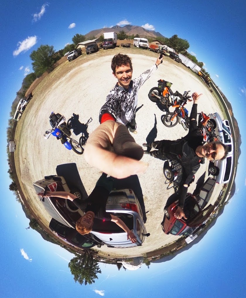
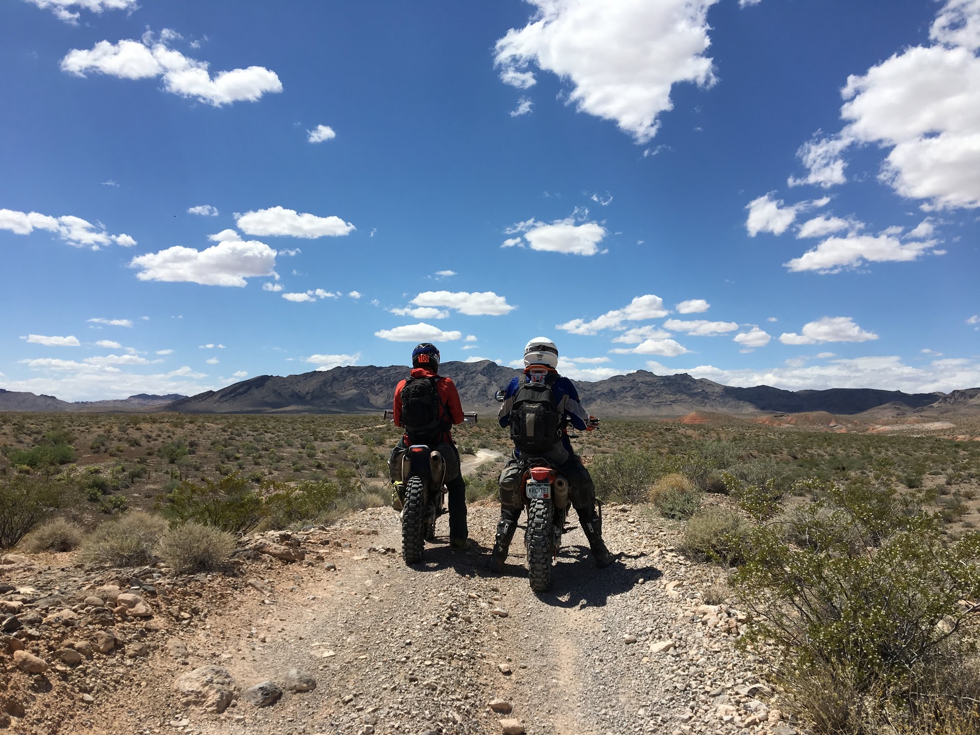
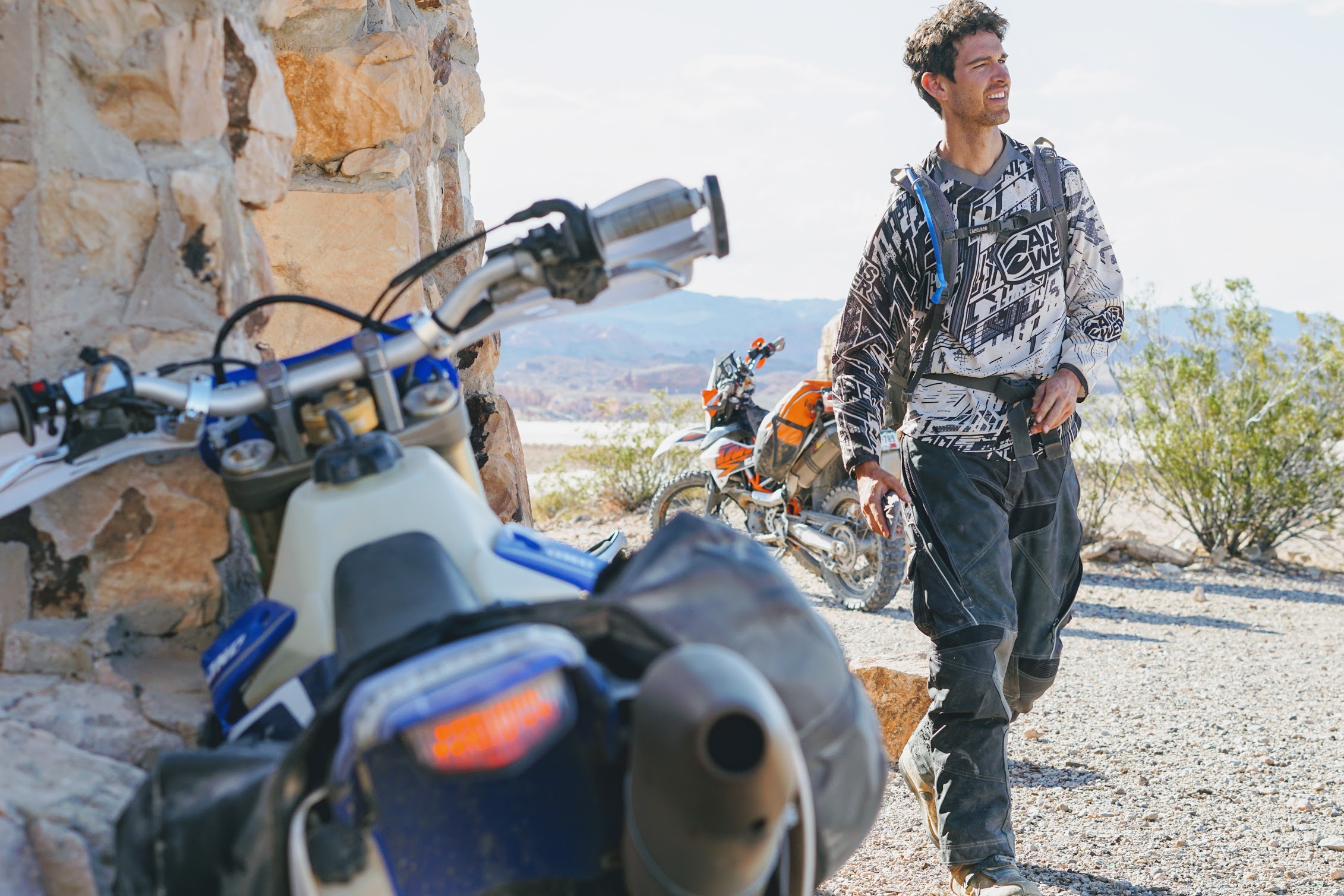
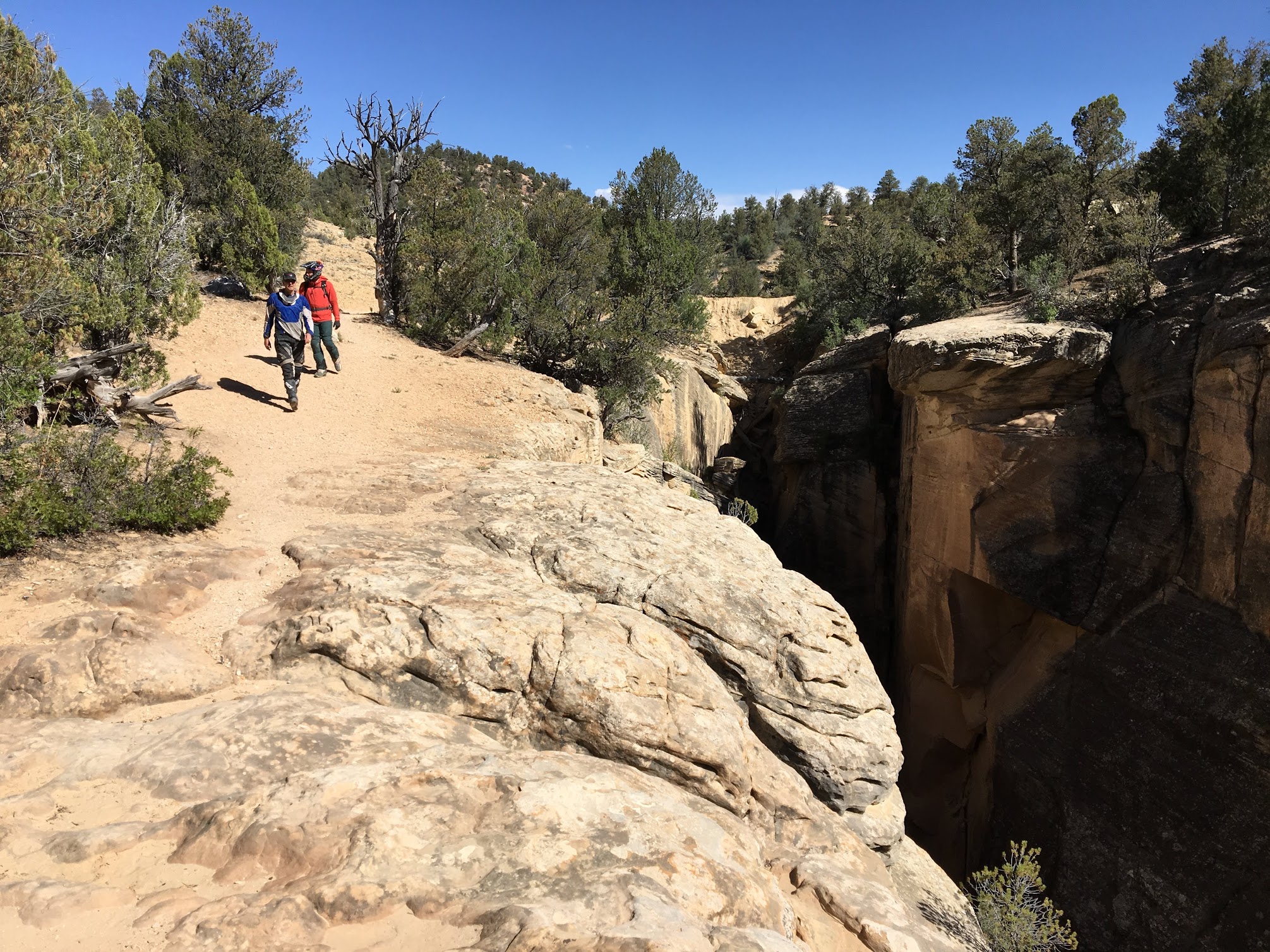
The team (me, Tom, and Carl) moments before departing on our odyssey.
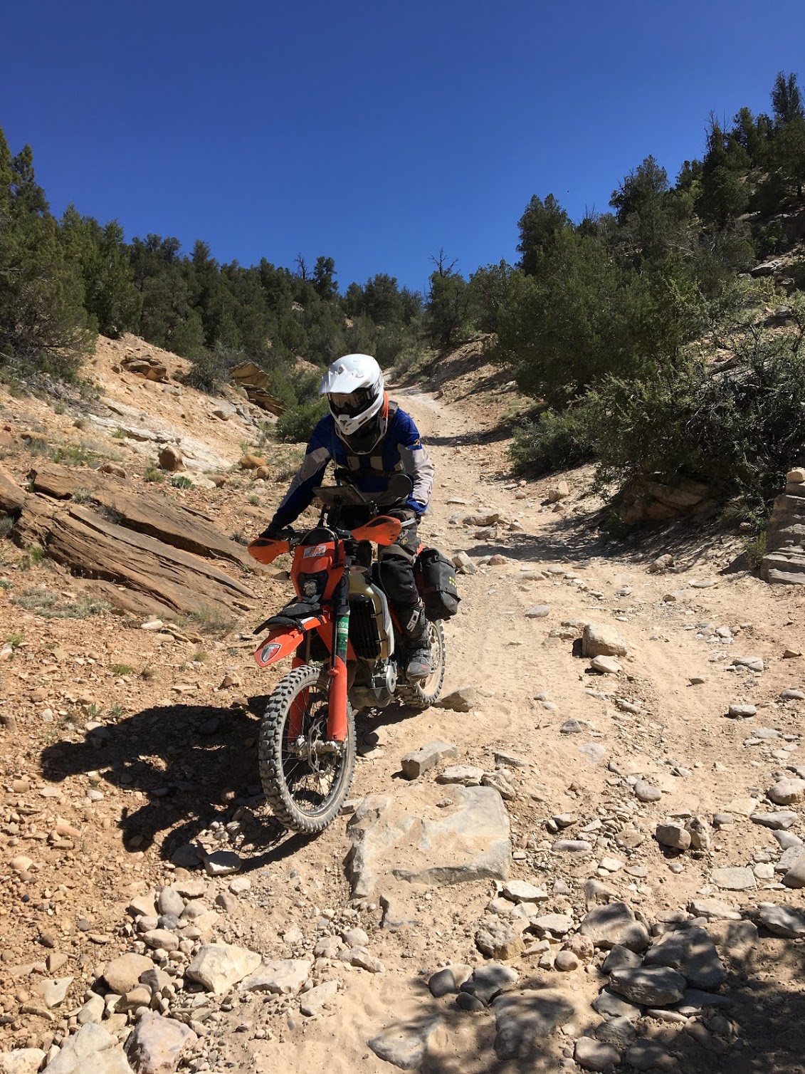
Not having ridden a motorcycle offroad in quite some time, I was in for a rude awakening immediately after entering the Cinder Hills OHV area just north of Flagstaff. We were greeted with big sections silty volcanic soil massaged into deep whoops by the local ATVers. Fortunately for my rusty body, the whoops flattened within a few miles as the route led us around Sunset Crater, an extinct volcano responsible for the beautiful black soil beneath our tires.
The San Francisco Peaks in Northern Arizona were all once active volcanoes. When the black silt they once spewed accumulates into whoops or washes, the riding conditions get interesting.
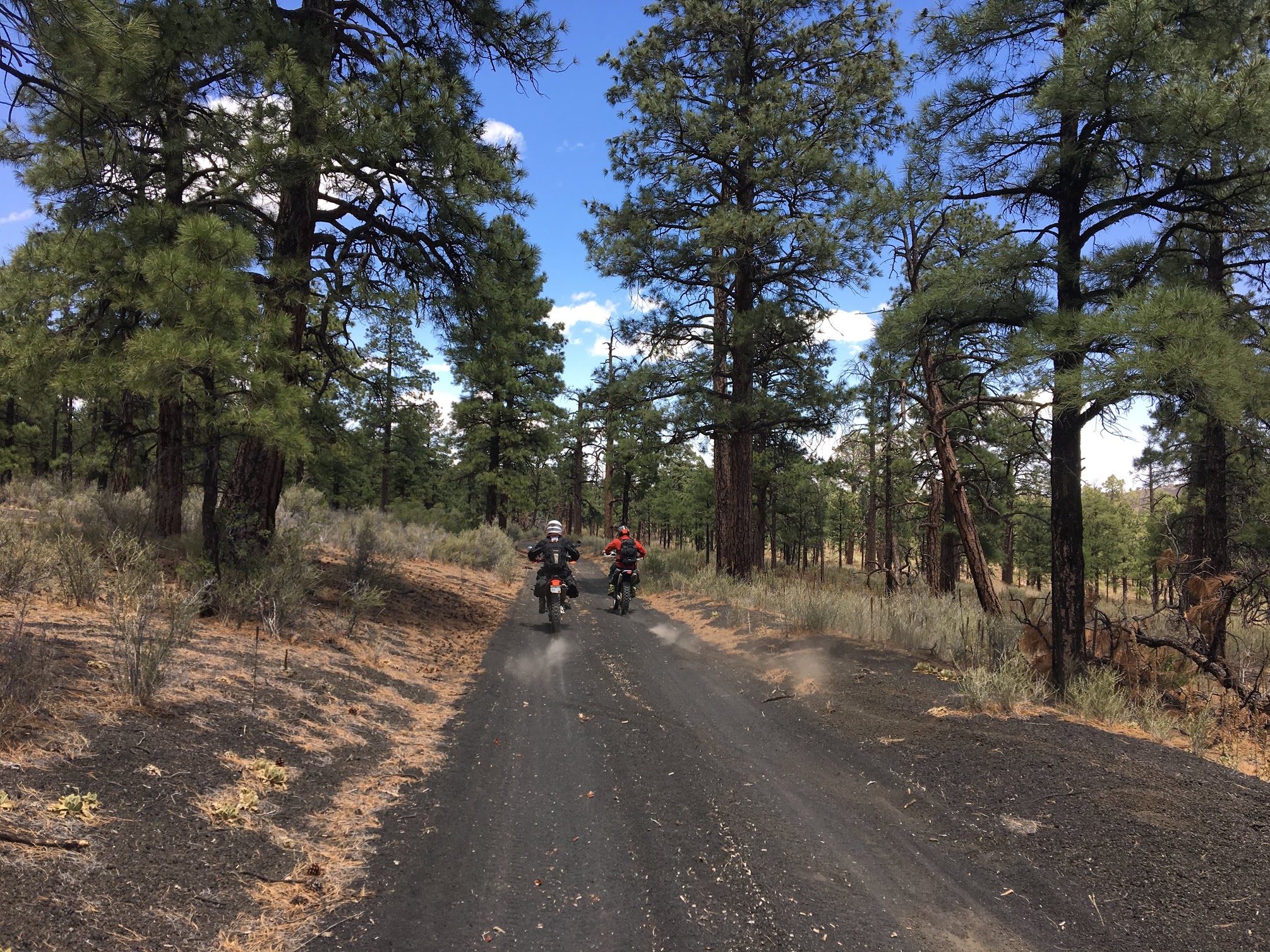
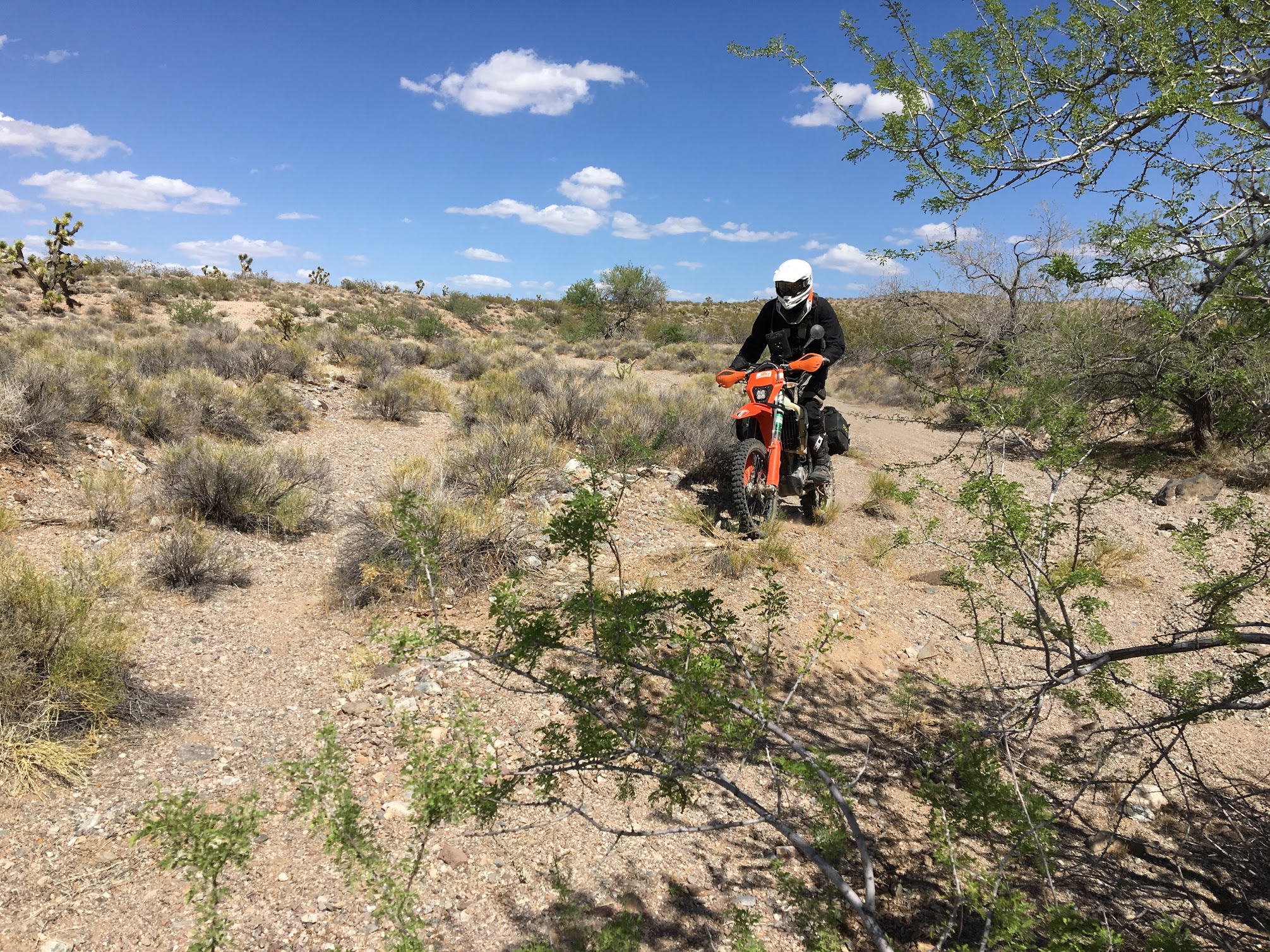
As we navigated west across Highway 89 and onto the Arizona Trail, the silt gave way to fast, rocky doubletrack and we soon encountered our first mechanical of the trip. After misreading a deep washout at 30 mph, I slammed my rear wheel into the far side. Five minutes later, I was sliding off an off-camber section of trail with a rear flat. I was riding so loose that it took the gyrations of a faithful riding companion to pull me over and let me know something was wrong–amazing what a year off a bike will do.
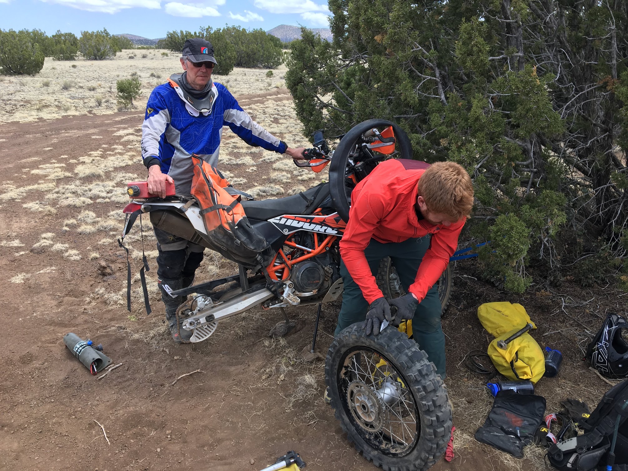
Carl pulling a three-inch nail out of my rear tire. Certain that I had pinched the tube, I nearly reinflated the tire with the nail still embedded. Remember to always feel the inside of the tire 🙂
Between our late start, the flat tire, and the uncertain route, we had to hustle to get to Peach Springs by nightfall. Early in the planning process, we decided camping was out. However, there were precious few places to spend the night, so it really was push to Peach Springs or spend the night under the stars in our riding gear. Unfortunately, literally hundreds of miles of unknown stood between us and our destination. We twisted the throttle across the Arizona Trail and into the patchwork of private and public land that Tom had strung together from his Google Earth sleuthing.
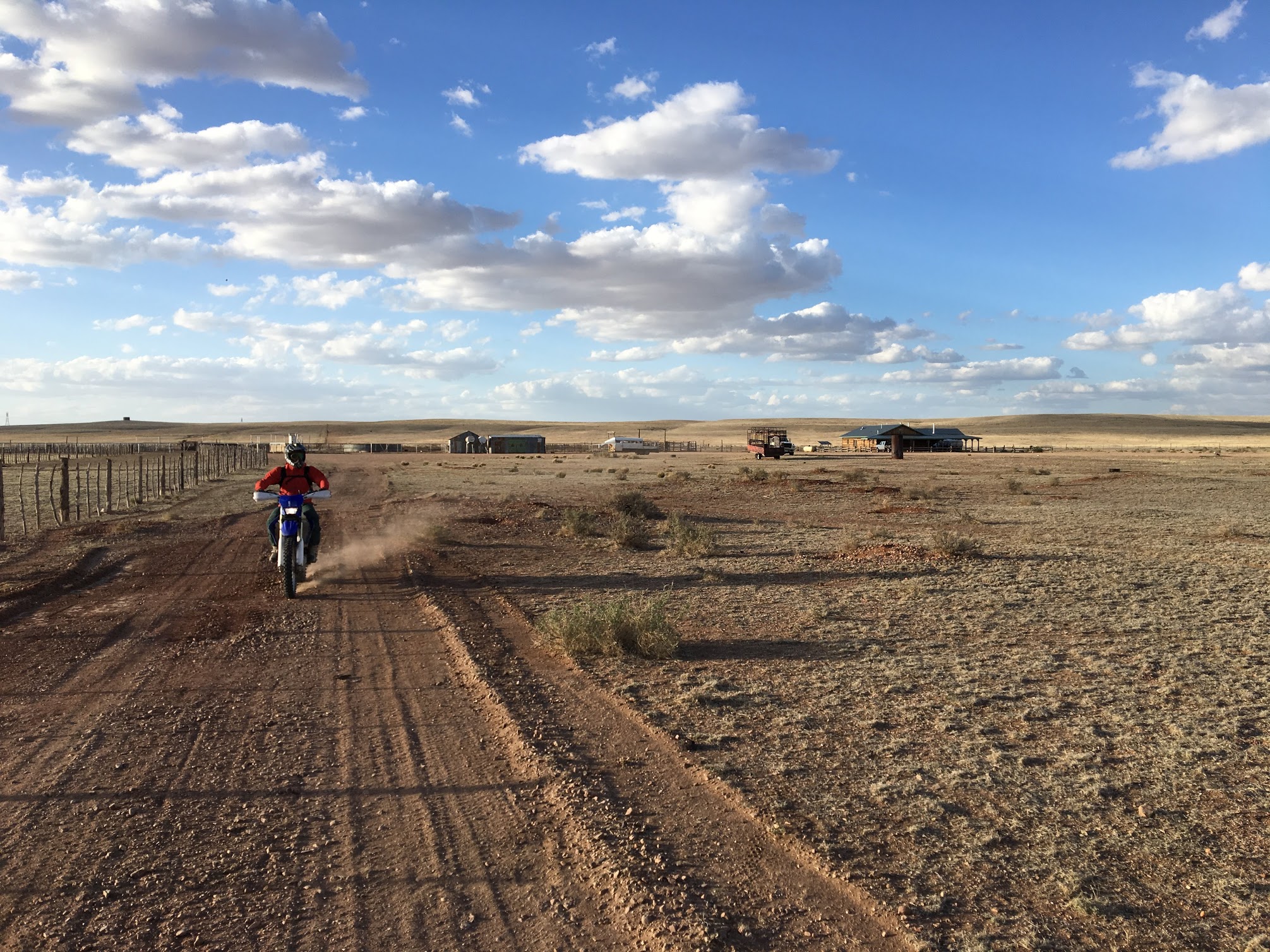
For close to a hundred miles, we rode gravel and doubletrack across the flat expanse of Northern Arizona, occasionally encountering evidence of humanity, like the semi-abandoned ranch above.
We hit our first dead end of the trip on FS2615 just south of the airport. The route should have followed a beautiful canyon to the west and reconnected with the graded FS606, but a bulldozed berm and authoritative sign let us know that the area was closed for rehabilitation. No problem. It was getting late, but we had plenty of time to find a workaround. 30 minutes and a few tries later, we were back on the route.
Shortly thereafter, our second dead-end emerged. Big Bo Ranch, a massive 750,000-acre cattle ranch, sits between the Forest Service land on which we were riding and the Hualapai Reservation to where we were traveling. We knew that this bit of private land might present a problem, but didn’t realize recreational travel was prohibited without a permit. Had we read a blog like this one ahead of time that linked to the ranch website, we would have filed a $20 permit and passed through, but we weren’t comfortable with trespassing on the spot and again turned around. This time the consequences were greater–10+ miles of gravel road.
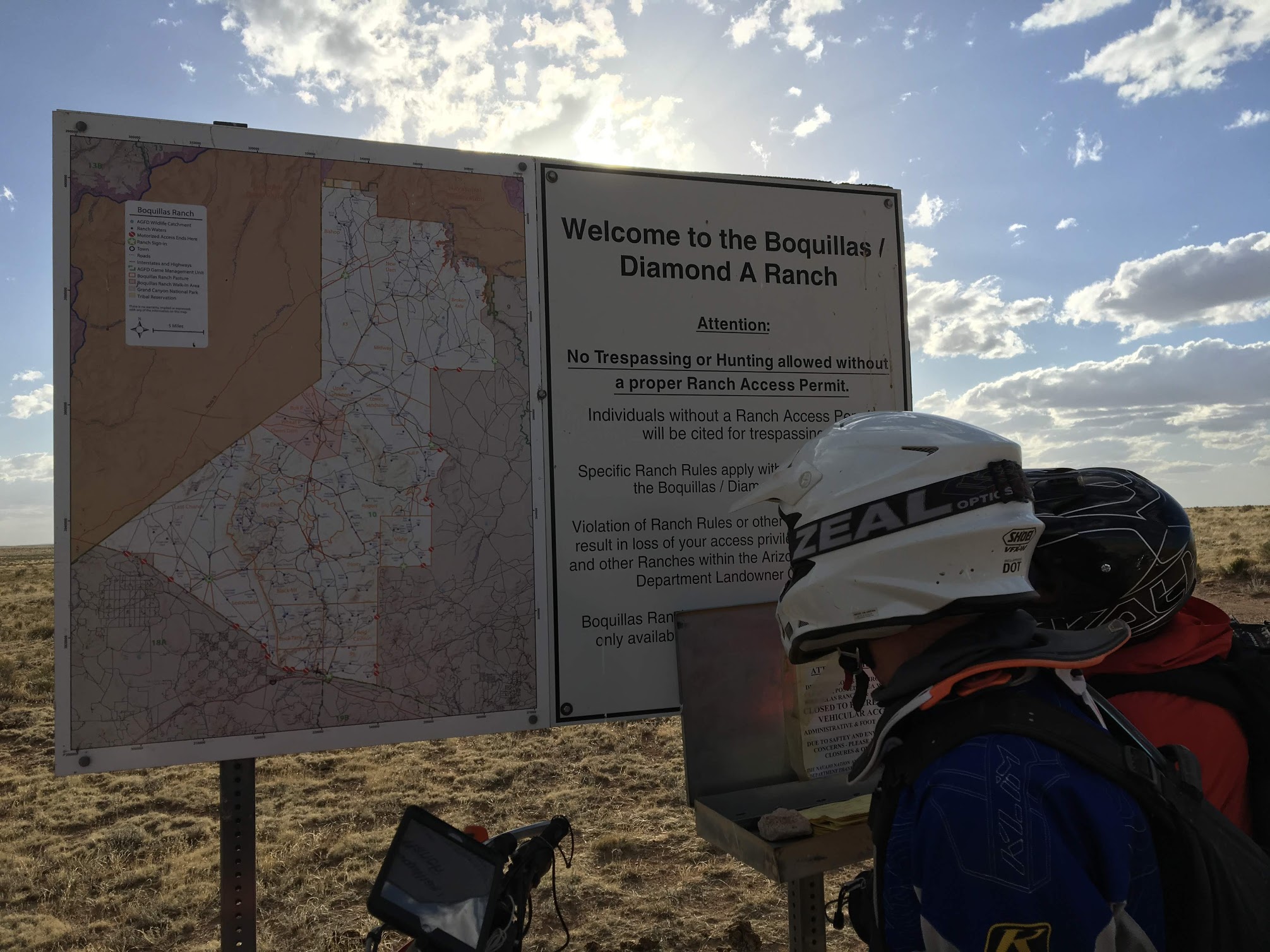
At Big Bo Ranch, we encountered the second of many dead-ends inevitably associated with any DIY adventure.
A short time later, we were back on our proposed route and riding toward a bailout planned for this very occasion. The sun was dropping in the sky and we still were more than a hundred miles from Peach Springs. The optimist in all of us continued to push us forward knowing how important it was to find a way through. A turn around would have been costly. We would be faced with a 50-mile backtrack on dirt and 100 miles of interstate hell without knowing whether we had enough fuel to complete the trip. None of us were remotely mentally prepared for the possibility.
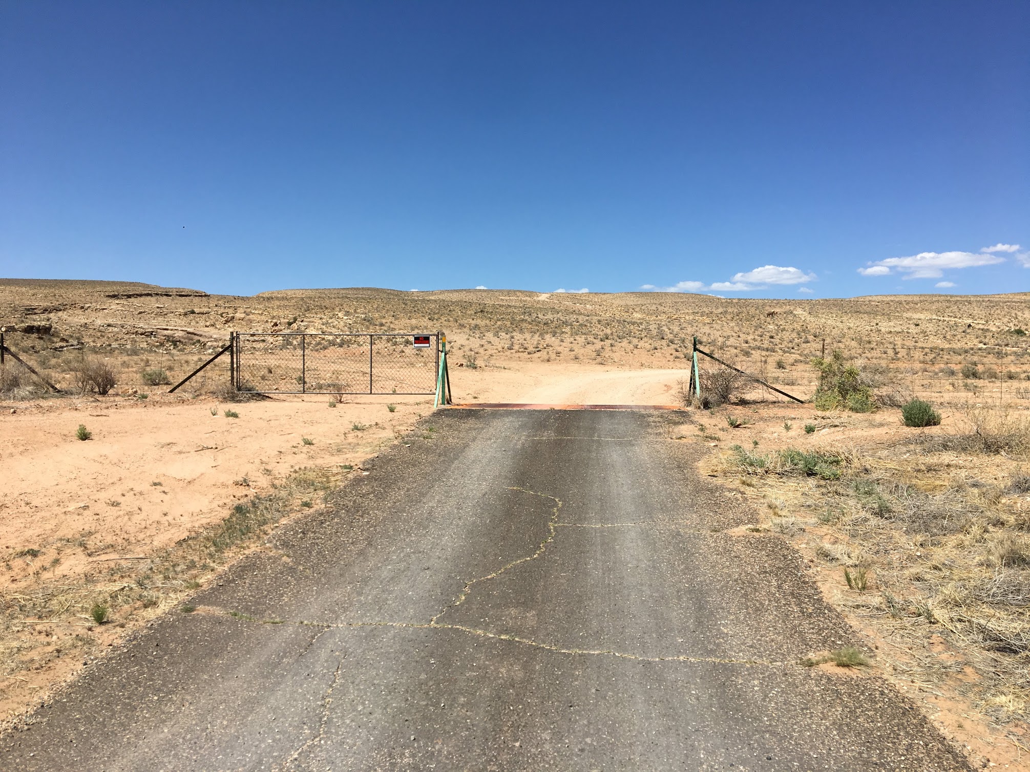
And then it came. Happily ticking off the miles to Peach Springs, we hit a gate–this time with no alternative. Refusing the accept the possibility that we might have to turn around, we studied our maps and rode along the fence line desperate for alternatives. None existed. Our only hope was a road 1.5 miles distant as-the-crow-flies that lay across a field scattered with massive volcanic boulders.
Less than a mile separated us from a marked National Forest Service road, but the sun was setting and a barb wire fence stood in our path.
We set out across the boulder field only to reach another barb-wire fence a few thousand feet from the road. The sun had dipped below the horizon and the possibility of riding hors-piste (HP) through the night was even more distasteful than turning around. Even more worried about fuel, we retreated through the boulder field and watched the stars emerge while ticking away hours of bitter cold gravel riding through the labyrinth of ranch roads that we prayed would eventually hit the highway. After finally hitting pavement with a few ounces in the tanks, we made tracks toward Williams for a quick Mexican dinner. Satiated, thawed, and dreading what lay ahead, we left the restaurant to endure the 90-miles of after-dark interstate highway that led us to Peach Springs just after midnight.
While this wasn’t exactly the smoothest way to start a week-long tour, our gracious host at Hualapai Lodge did let us bend the rules and soak in the hot tub after hours to warm up our chilled bodies and get our battered muscles ready for the next day of riding.
Day 2: Peach Springs to Boulder City or Vietnam in Arizona
After the late night, we were in no hurry to get rolling again, but we had another 200+ miles to tick off the odometer and all agreed that arriving in Boulder City before dark would be preferred. Our first 50 miles of the day rambled through the Hualapai Reservation on Buck and Doe Road, a beautiful, graded gravel road that presumably existed to provide access to a water pipeline alongside, which I imagine connects Lake Meade to the thirsty metropolitan areas of southern Arizona.
Buck and Doe Road took us through the Hualapai Reservation to Meadview, NV. We all felt very Zen winding through this wide-open country on a winding gravel road.
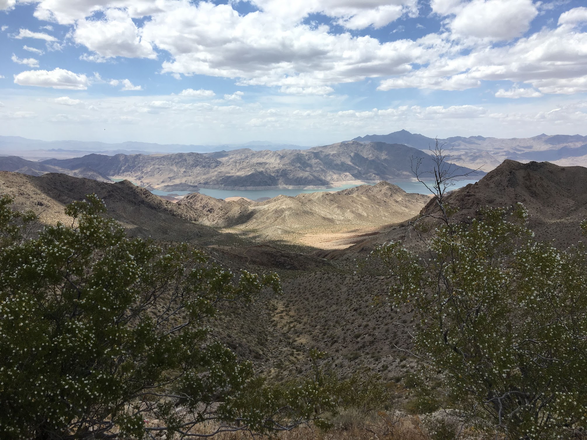
After cresting a ridge, we saw it for the first time. The Grand Canyon appeared in all of its splendor. The unmistakable red gash through the earth forced us all to stop and stare. The scale was obvious even miles away. I can see why the Spaniards just stopped and turned around upon reaching the Colorado River, assuming no human could every cross to the other side.
And then we saw them–helicopters everywhere. While the National Park Service prohibits helicopter tours of the canyon, the Hualapai government has no such reservations. Dozens of helicopters dotted the horizon dipping in and out of the canyons like mosquitos pestering annoyed cattle. The contrast between the remote natural beautify of the canyon and neverending tourist air raid sat with all of us as we continued to Meadview.
Meadview, AZ is a strange place. This tiki shelter outside of a gas station is no exception.
Meadview, AZ was delivered our first taste of the desert people. Even the name of the town is off. Despite implications, Meadview does not overlook or even provide a glimpse of Lake Meade. The reasons behind Meadview’s existence are not totally clear, but it exists on Highway 25 halfway to Pearce Ferry, where John Wesley Powell ended his first run down the Colorado River and the hundreds of tourists who follow in his wake get to enjoy their first fresh food in 2-3 weeks. The town is a gridded collection of dirt roads inhabited by the most eclectic collection of people I have ever seen in such a small place. From the gas station attendant who was clearly running from the law to the custom chopper rider happily smoking a cigarette while filling his tank to Mormons cheerily waving from behind their white picket fence and perfectly manicured lawn that stood out like a fluorescent sign in the middle of the Mohave Desert. Even stranger, gridded gravel roads extend their reach in all directions occasionally punctuated by graded lots and the rare trailer or abandoned house. At some point, Meadview was the new thing. And then it wasn’t. In some surreal alternate universe that just happens to be our own, some developer began building a massive planned community in the middle of the desert and then just stopped. All that is left is the unfinished grid and collection of Mad Max characters that moved in and scrape out solitary existences in the middle of the desert.
A few miles out of Meadview, a Lake Mead overlook does exist.
After a cold drink, a look at the map, and one too many Raising Arizona jokes, we departed Meadview and followed an old mining road through the zombie suburbs until it abruptly ended in a wash. Based on our maps, the dry bed appeared to reconnect with another road a dozen miles down, so we set off on our first of many wash adventures. Progress was slow through the deep sand, gravel, and occasional rock garden, but we were all having a blast riding and didn’t mind a bit. A few hours later, our hypothesis was proven correct and we found ourselves back on pavement in Lake Mead National Recreation Area.
Cruising a wash from Meadview to Lake Mead National Monument.
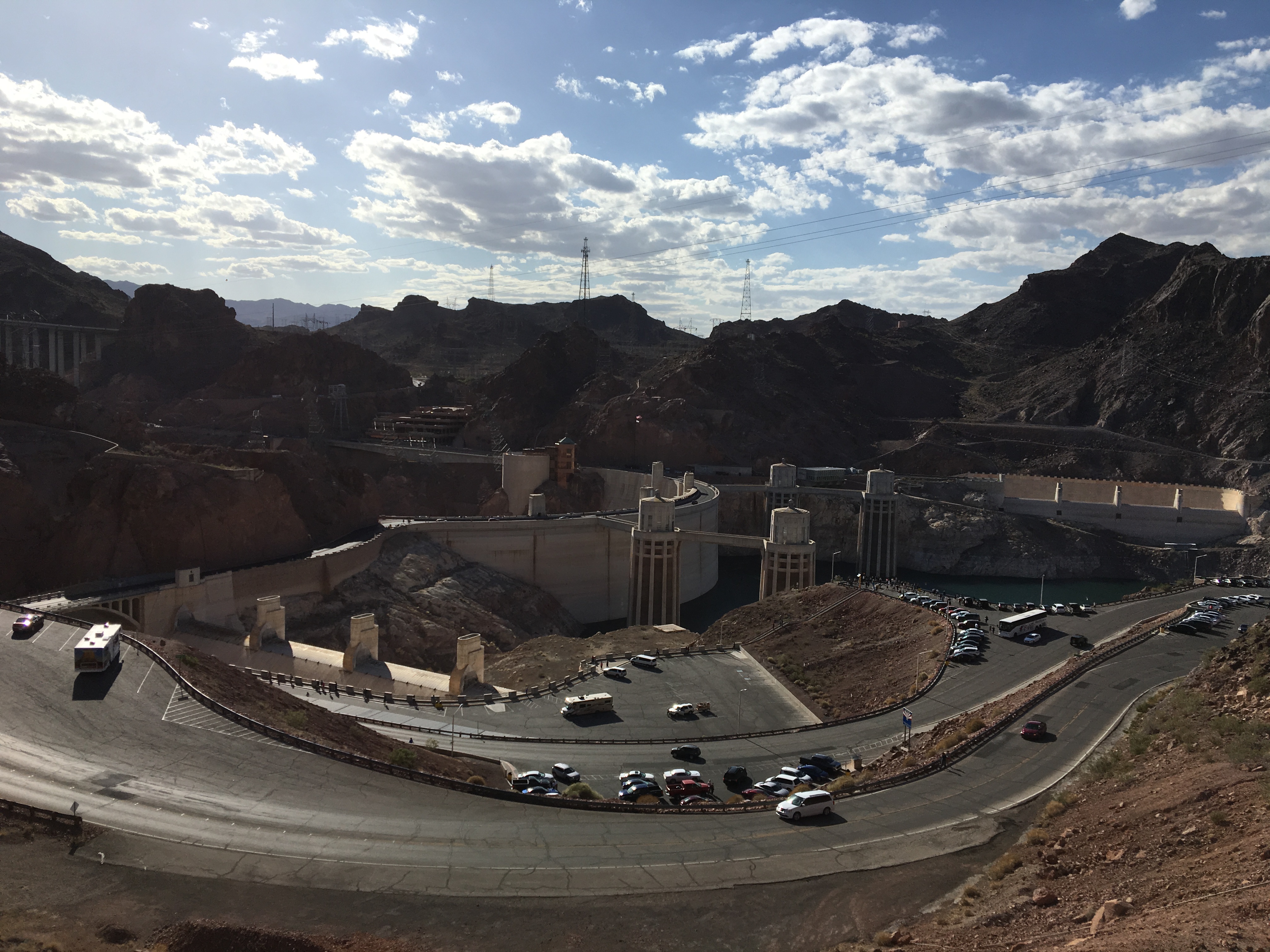
We buzzed the road to the Hoover Dam, attempted a tour (Elevators broken? What happened to investing $1T in our failing infrastructure?), and arrived in Boulder City as the sun was setting. This uncharacteristically early arrival gave us plenty of time to consider whether Boulder City residents were actually wasting water on their golf green lawns just adjacent to Lake Mead while sampling some of the most bizarre beer I’ve ever encountered.
Decorated with high-test power lines, police with assault rifles, and molded concrete art deco towers, I half-expected the Eye of Sauron to begin addressing us as we enjoyed a drink at this overlook.
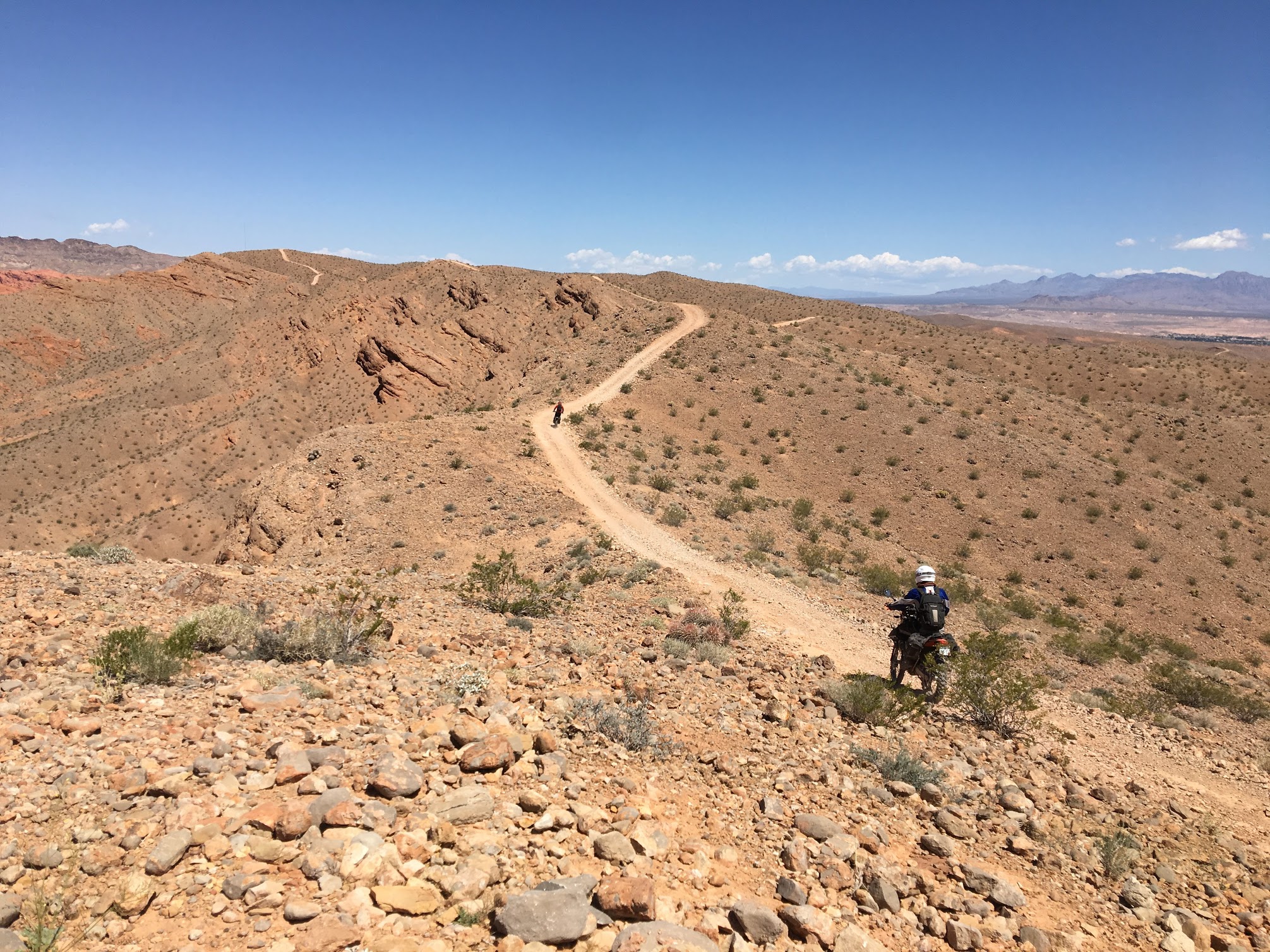
Day 3: Boulder City to Overton or the land of the lake people
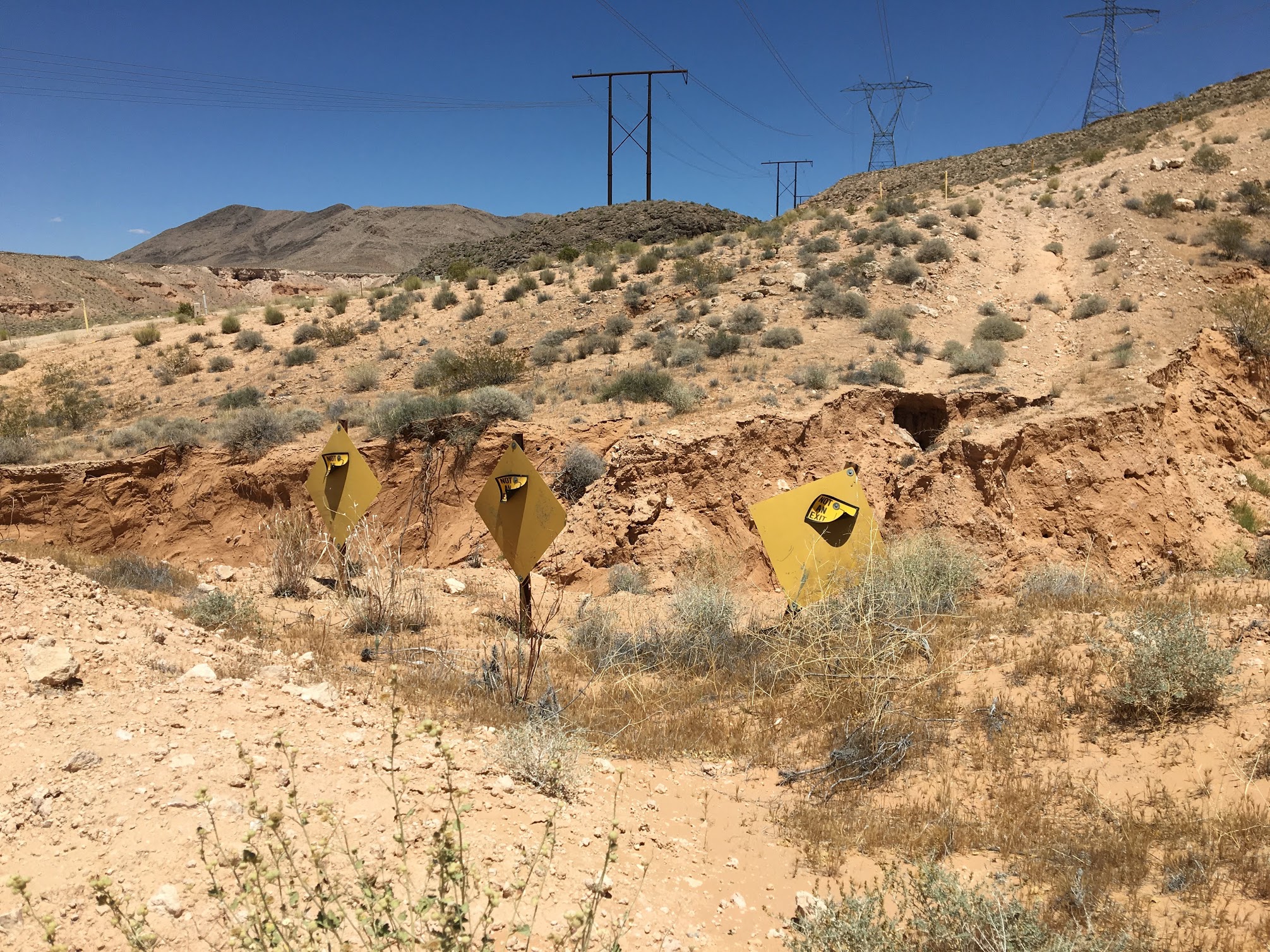
Wrapping around Lake Mead to the north offroad was not a simple task. Las Vegas sprawls in from the west, Lake Mead itself and eponymous recreation area prevent travel to the south, Muddy Mountains Wilderness Area looms to the east, and various mining and gypsum interests are scattered throughout. Our plan was to follow some transmission lines around the north side of the wilderness area, but after a few miles of roller coaster-esque badlands riding, we were turned around by a gate and a stern no trespassing warning from PABCO Gypsum.
There are no marked trails that travel northbound from Overton, so we attempted a powerline route. This theme would repeat itself throughout the trip.
Undeterred, we identified a handful of alternate routes across BLM land and encountered closed and no trespassing signs at each entrance. Puzzled, we forsook the northern route, returned to the park, and followed the blacktop to Bowl of Fire Wash. It wasn’t until now that I realized why all of our alternate routes were closed. They all would have dumped us right at the back door of the 57th Munitions Squadron at Nellis Airforce Base. I’m not sure what the sentries on duty would have thought of three dirt bikers making a surprise entrance, but I’m glad we didn’t find out.
What we did find was a beautiful wash that we believed to connect all the way to Bowl of Fire State Park. Screaming through the tight canyon transported us to Luke Skywalker’s landspeeder races on Tatooine, but our fun came to end as the wash tightened into an impassable slot canyon that I now know as Bowl of Fire Trail.
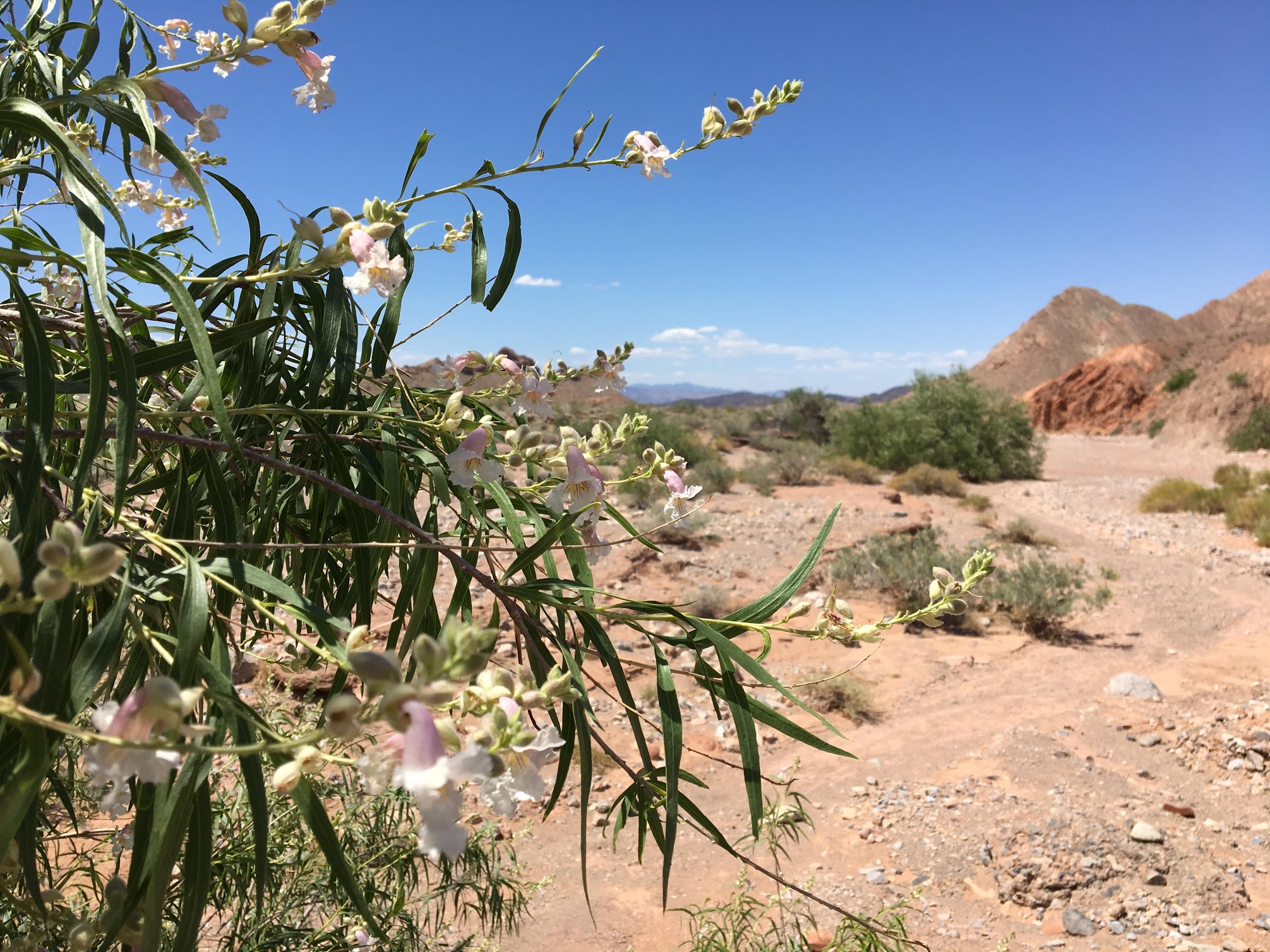
Despite the heat and drought, flowers were blooming in the wash leading out of Lake Mead.
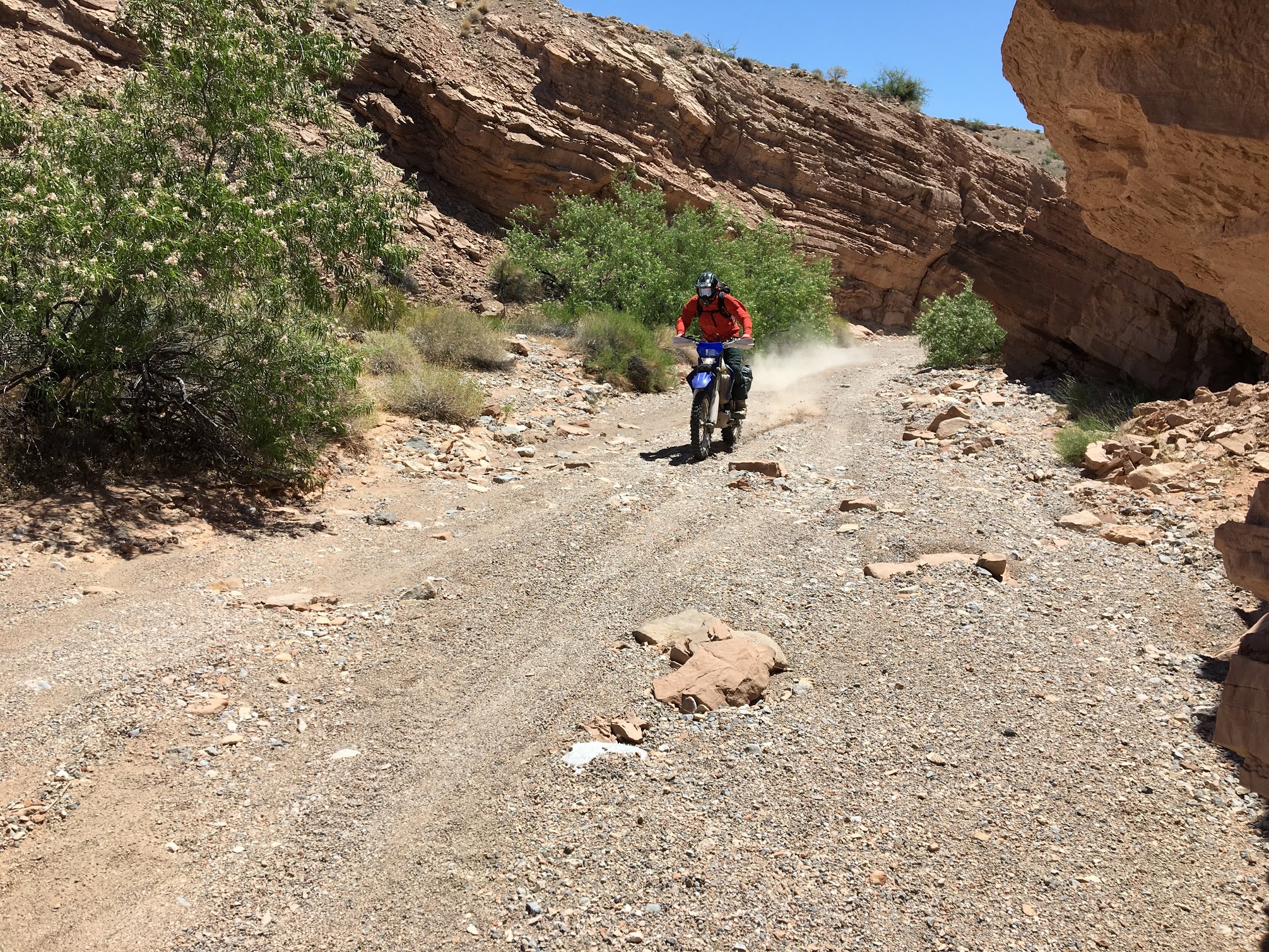
Carl twisting his throttle.
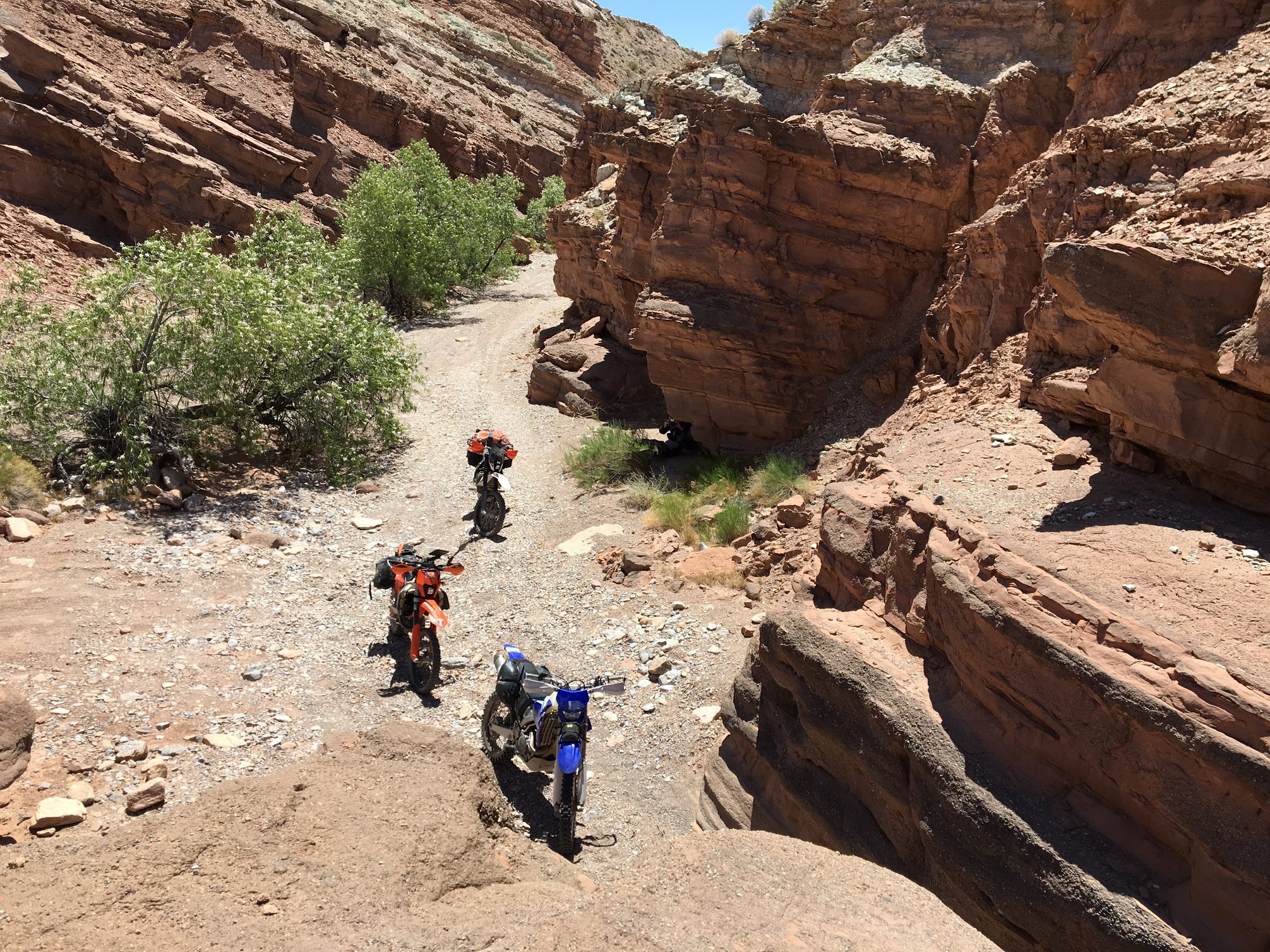
Stopped out. Again.
A selfie from the other side shows how tight the canyon got. With more time, we would have loved to have explored on foot.
Temperatures were climbing as we backtracked five miles out of Bowl of Fire Wash. Bikes and bodies were overheating. We planned on fast-tracking to Echo Bay along Northshore Road to fuel up and grab a cool drink, but my dad couldn’t resist the urge to tear through another wash, which fortuitously did connect through to the tractor tire recycling plant perched next to the Echo Bay Marina on Lake Mead.
It was at Echo Bay where we first encountered the lake people. Like the desert people, they are solitary and skittish, but they make camp along remote fingers of reservoirs rather than remote fingers of dry washes. The Echo Bay campground was totally empty aside from ourselves. The park service employee working the counter at the snack shop seemed to have been drugged, abducted, and deposited in this strange milieu. Despite working at Echo Bay fulltime for several years, he couldn’t give us much direction on what was around the corner from the gas station, much less the best passage to Overton. On our way out, we found more of his kind roasting on their RV balconies, watching the world go by, and looking alarmed as us outsiders sped by.
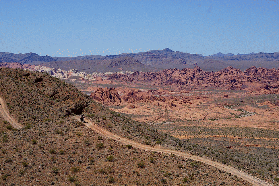
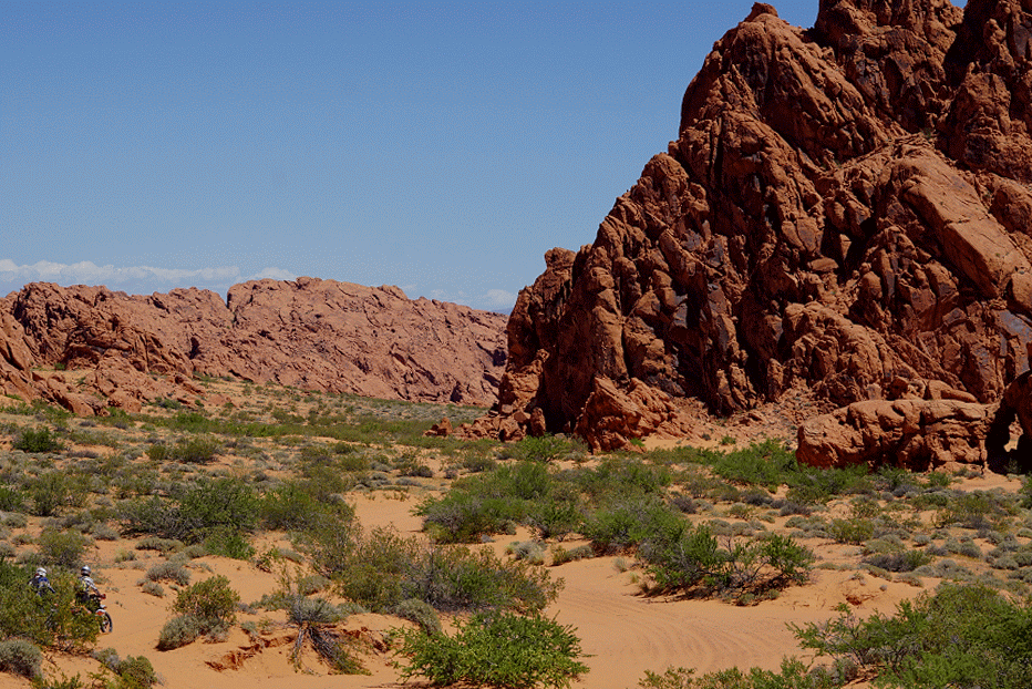
Our next definitive track was through Valley of Fire State Park. Option A was safe. We could burn the road up to the entrance of the park. Option B was a wild card. We could return to the wash that delivered us to Echo Bay, follow it to a road of unknown ownership and character, and enter the park from the west. Given this was a DIY adventure, we chose B.
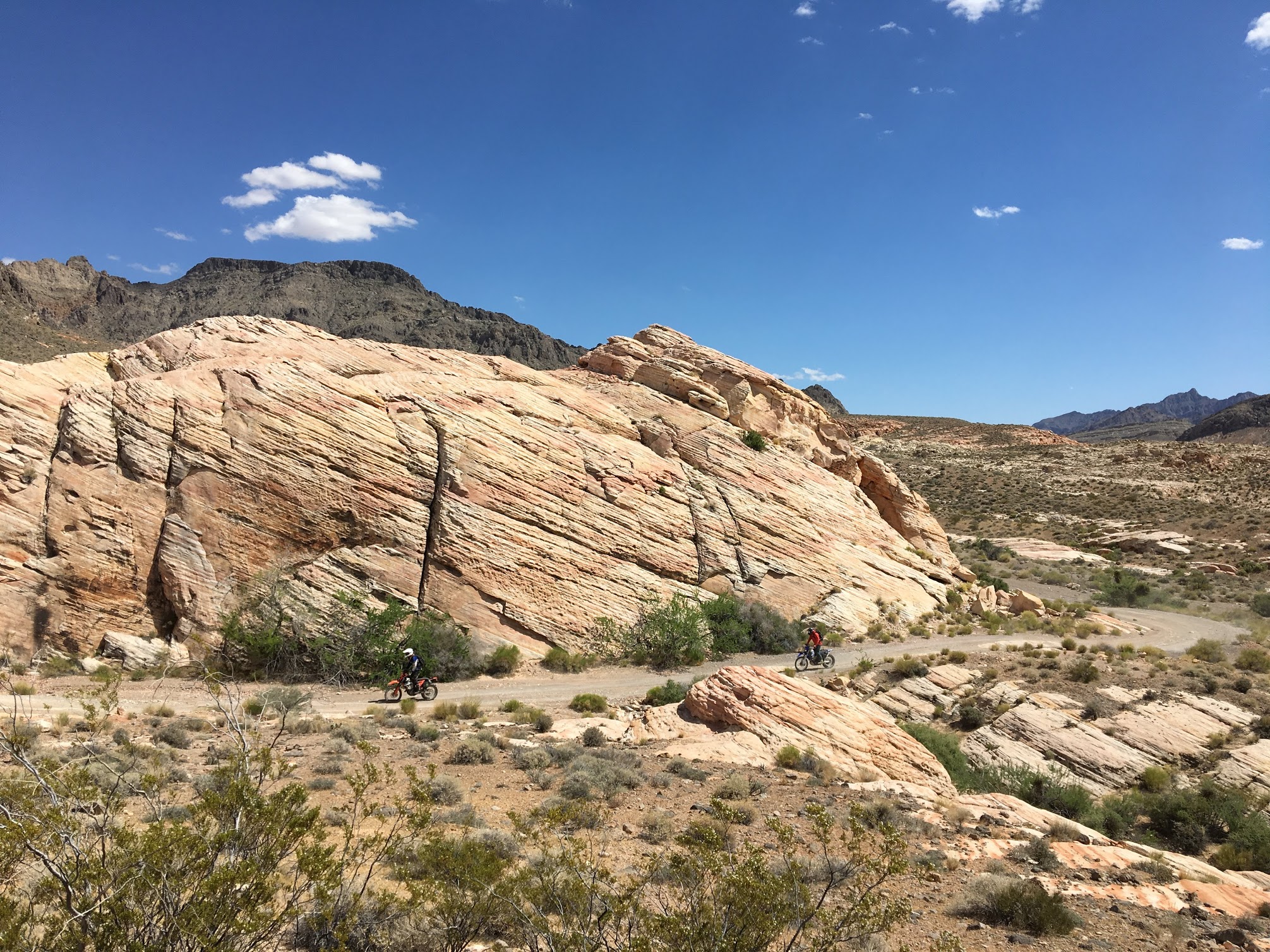
For the first time all day, we chose correctly. Option B gifted us another 10 miles of sandy pleasure and funneled us into an unreal BLM Backcountry Byway that wound through some rock formations that in any other part of the country would deserve a national park on their own. Despite the fact that between the three of us we had decades of experience riding motorcycles offroad on BLM land, the concept of a BLM Backcountry Byway was totally foreign. For some reason, the BLM goes to the trouble of marking and maintaining these spectacular routes but neglects to inform the tax-paying constituency where they can be found. Literally. There is no information at all on the BLM website explaining how one might find a byway. Fortunately, our friends at Armchair Explorer have begun compiling a list. I’m looking forward to getting out and riding all of these.
The start of the National Backcountry Byway
The byway was littered with spectacular formations like this one.
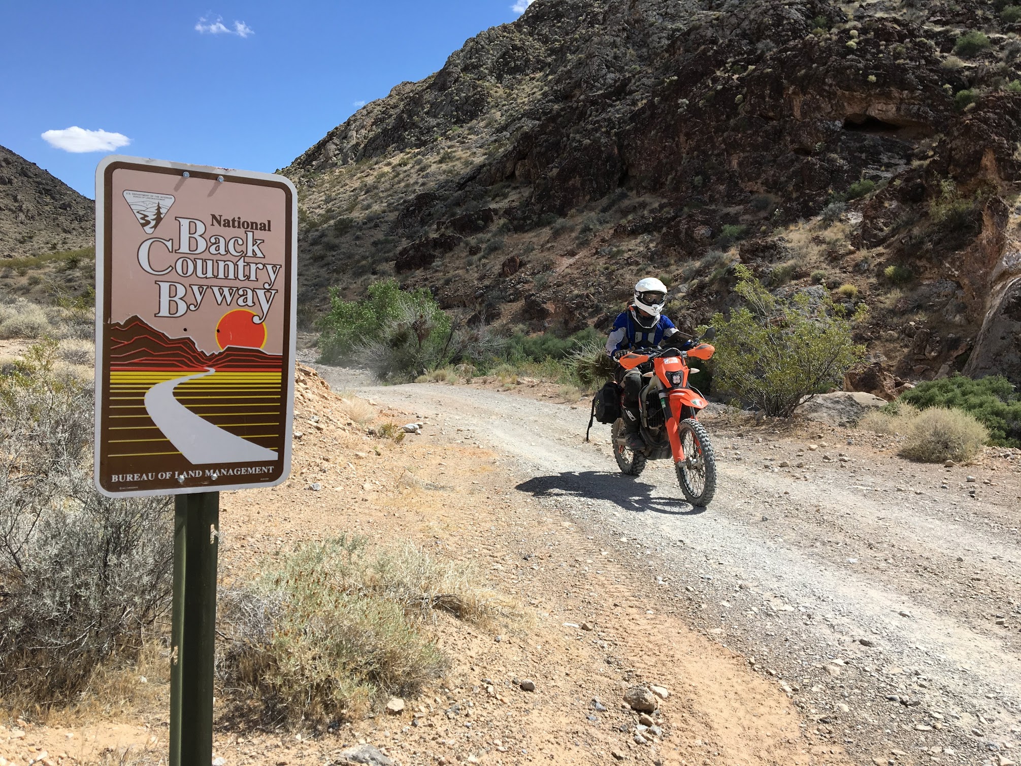
A lonely sign on the way out was the only recognition the byway garnered. I would love to see a BLM website complete with maps and descriptions. Maybe I should offer to build it for them.
We exited to byway onto Valley of Fire highway and rode into the state park. Our bootleg route showed us an offroad path through the north end of the park, but upon entering, it was obvious that the passage would be closed. However, the beauty of the park beckoned us in and we marveled at the magnificent red and pink formations.
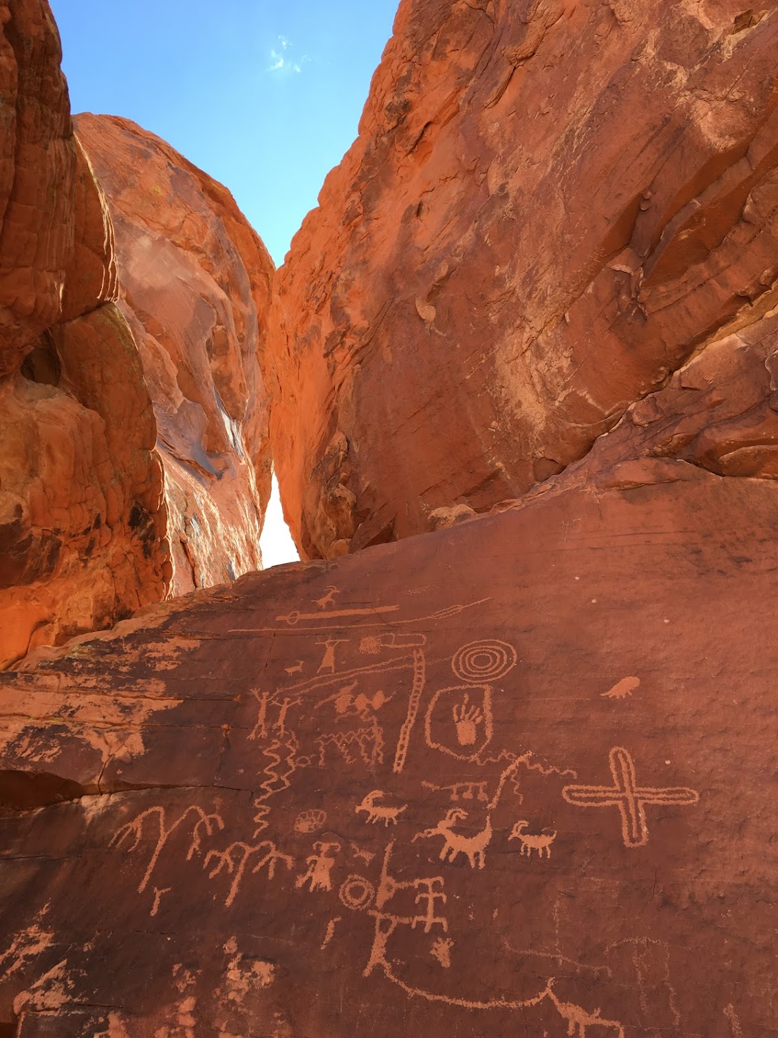
Petroglyphs in Valley of Fire
After our detour through the park, we picked up another transmission line trail and motored toward Overton, one of the only motel-containing outposts in the Moapa Valley. A few miles into our trip, we stumbled upon another Mad Max settlement as dozens of barking dogs announced our arrival and a man who may not have had contact with another human in months emerged from his makeshift encampment. Twisting the throttle to escape from the pack of snarling dogs, we climbed up to the top of a peak whose summit was dotted with ancient, geometric stone buildings. Too weird not to document, the cameras and drone came out, but by the time we got done snacking in the shade, we were all too wiped to go on. Knowledge of cold beer 10 miles away in Overton was too strong to overcome, so we turned around and arrived at La Fonda just in time for beer o’clock.
Carl’s a6000 emerged at the ruins, which we ripe for photography given the lighting and their strangeness.
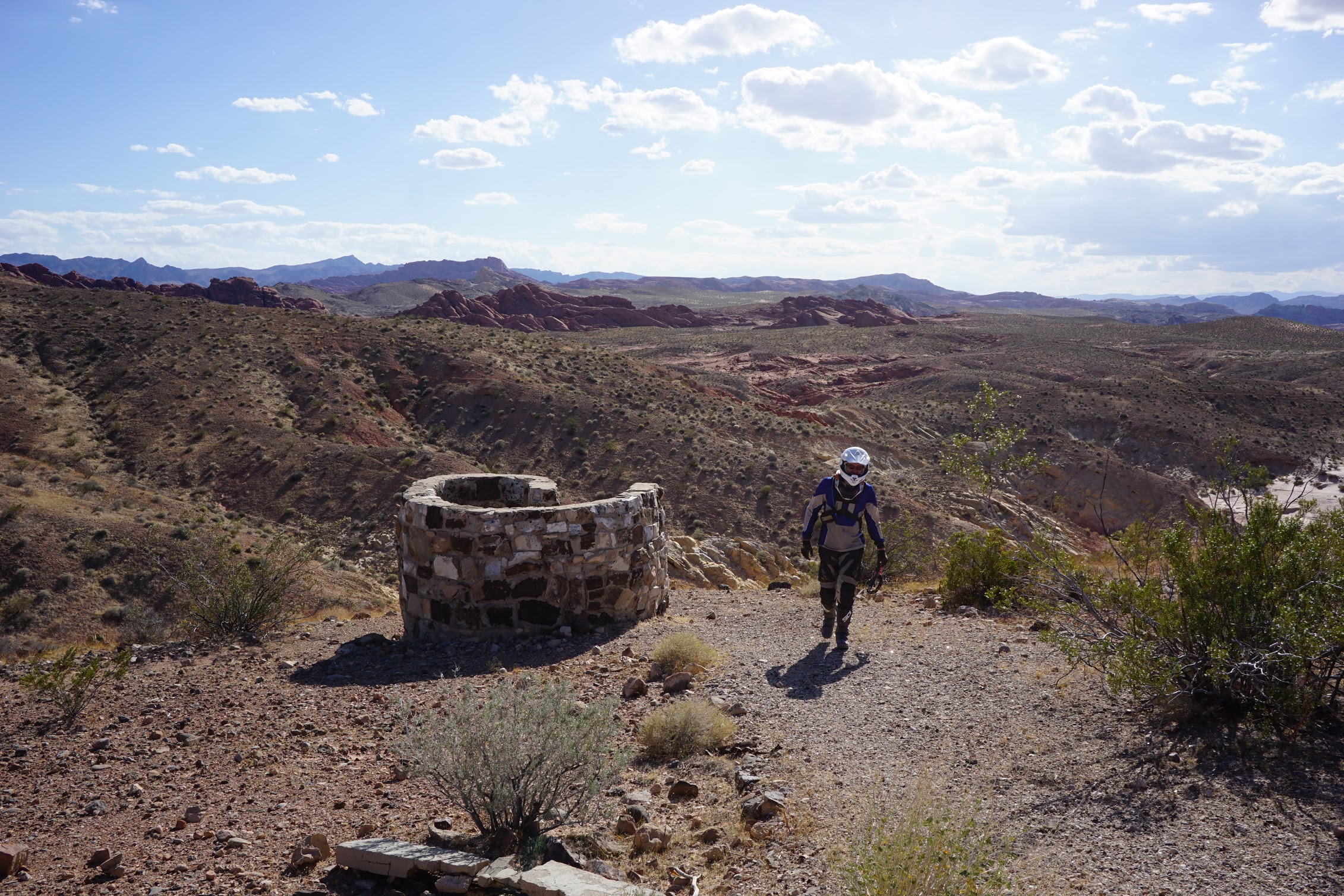
Dad exploring the hilltop ruins.
Drone pull away of the ruins overlooking Overton.
Day 4: Overton to St. George or how to ride amazing trails from one off-road mecca to another
Day 4 marked the halfway point in our journey. It was time for a little preventative maintenance on the 350 EXC-F and WR 450. While the 690R chugs along for 6k miles between oil changes, the smaller bikes needed a midtrip refresher. Law Powersports generously offered us a place to work and we returned the favor by forgetting to fully tighten a cap and coating their driveway with an oil slick. We did our best to clean up, but I still feel guilty, so please pay them a visit and pick up any supplies you may need while stopping through. The team was super friendly and walked us through the best routes in their local trail system.
Day 4 was going to be a fun day. Overton sits at the south end of the Logandale OHV area, which is a funland for motorcycles. Learning from the time crunches of the early days, we didn’t explore much, but we could have spent days riding dunes, washes, singletrack, rocks, and everything else Logandale has to offer.
Our first choice was high versus low. Our friendly guide at Law Powersports sold them both, but we were interested in a little variety. We had been screaming around sandy washes for a few days and thought it might be nice to ride some rocky doubletrack over the hills.
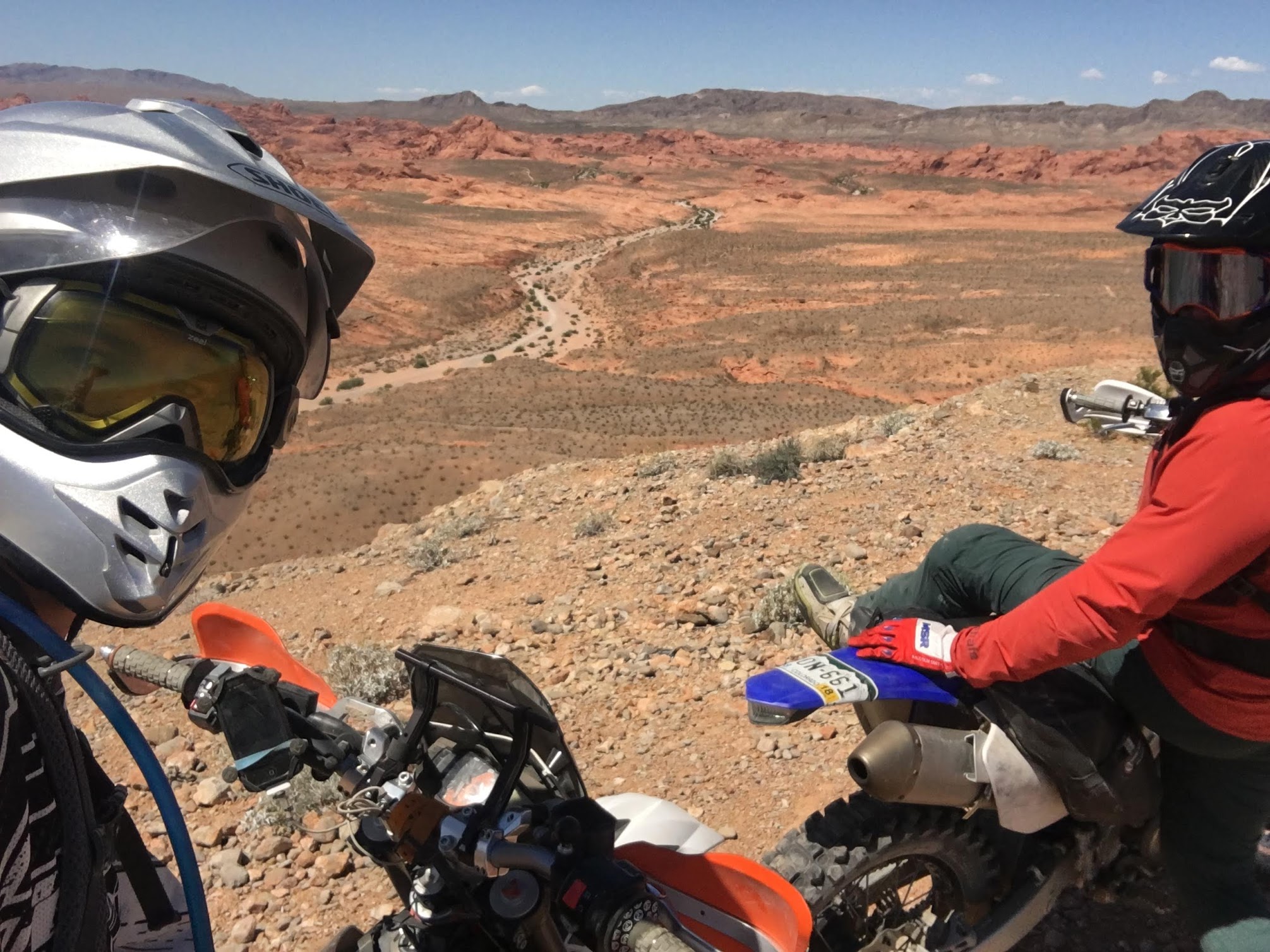
Carl and I considering our options. The low route follows the wash between us. The high route scales a mountain to the right.
Carl and Tom following the ridge on the high route.
Tom and I descending from the ridge with the spectacular scenery we were getting used to in the background.
After a series of spectacular climbs to the top of the Hogsback, the high road plunged into a Dakar-sandy wash full of 100-foot dunes. As I enthusiastically throttled up one, I was reminded of the horrific Joaquim Rodrigues crash Carl showed me the night before and let the engine relax a touch. This was just enough to high-center me on the top of the dune and remind me I probably am not cut out for Dakar. After burning a little bit too much fuel in the dunes, we followed the trail out of the wash into Logandale, grabbed a quick snack in town, and picked it back up north of town.
Carl playing in the sand. The scale is hard to see, but there is a massive dune between him and the rock.
Tom and I having fun racing in front of another spectacular backdrop. Carl’s next career has to be in professional photography.
The Logandale trails end near Glendale, where we attempted to hop onto the Old Spanish Trail, another interesting piece of history we encountered on the trip. The two biggest Spanish settlements in North America were Santa Fe and Los Angeles. The former was accessed by sailing up the Rio Grande and the latter the Pacific Ocean. The Spaniards desperately wanted a land link between the two and spent several decades and dozens of expeditions to establish a trail. Called one of the most arduous trade routes established in the United States, Kit Carson finally completed the journey in 1844. Like the BLM Scenic Byways, the memory of the Spanish Trail exists on a few signs and a Wikipedia page, without much else. We set off to follow one of these signs, but unfortunately, the trail was probably better maintained in the 1850s. Less than a mile in, we encountered a massive washout that stopped us in our tracks.
The only dead-end that will actually be pictured here even though it represents #14 based on my rough count.
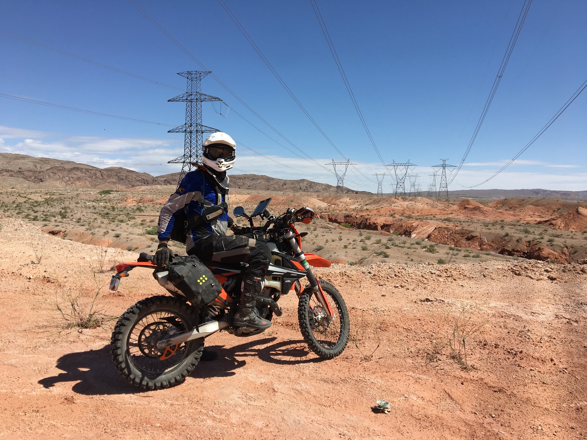
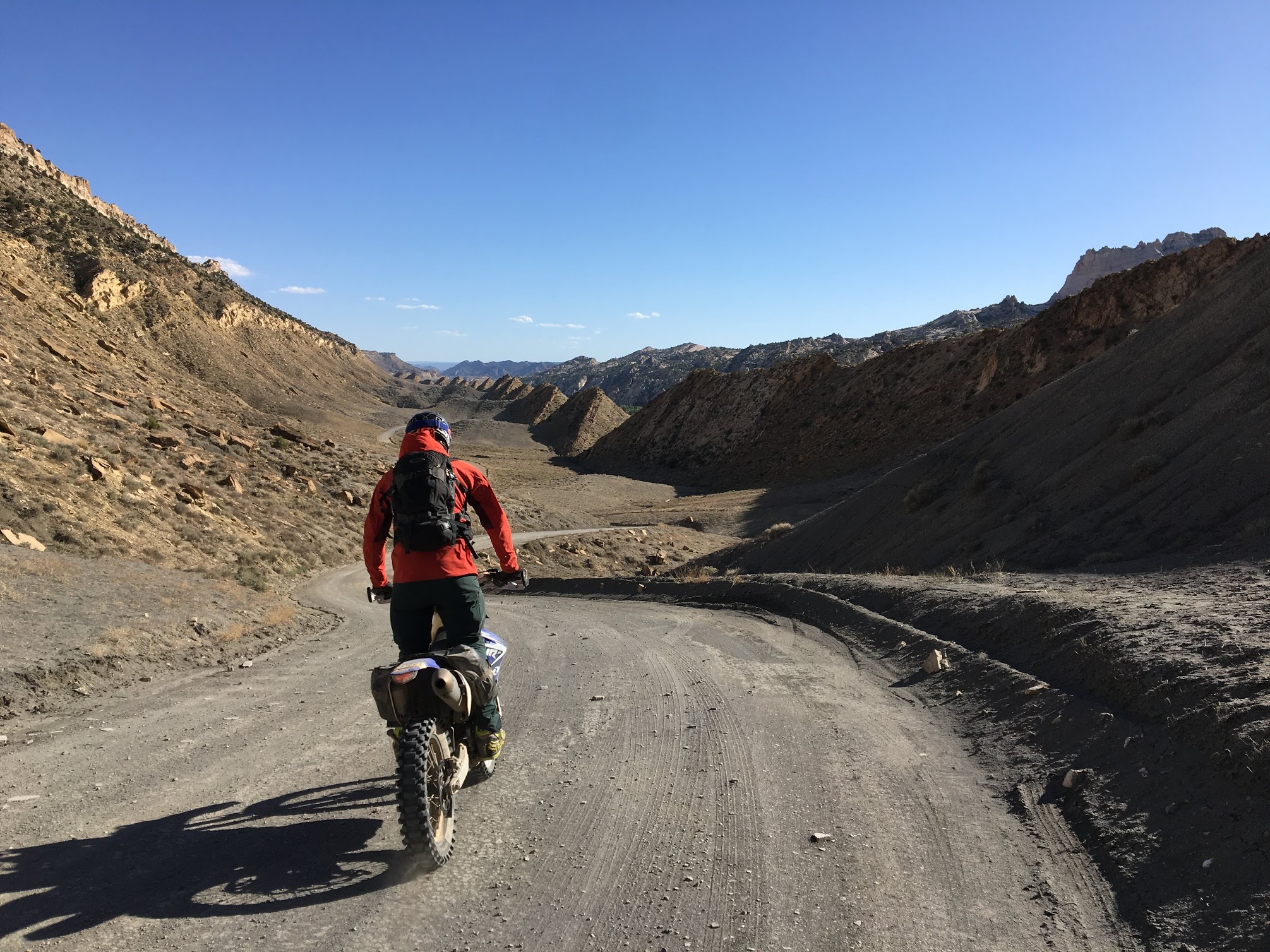
After poking around a few more dead ends, studying the posted cartoon Spanish trail map, and scanning through our topos, we really couldn’t find a way to connect to the next part of our planned trip, so we buzzed the highway for 5 miles and cut over to the powerline trail. This road existed to service a 50-mile long stretch of transmission lines and was straight and lined with steel towers as far as the eye could see. There was something poetic about this repeating motif that lulled us all into a trance, albeit one that was rudely interrupted every time the road made an abrupt turn to switch back through a ravine and climb out again. I had to continually remind myself not to get too complacent no matter how much I enjoyed the sun, the repetitive hum of the engine, and the fractal scenery.
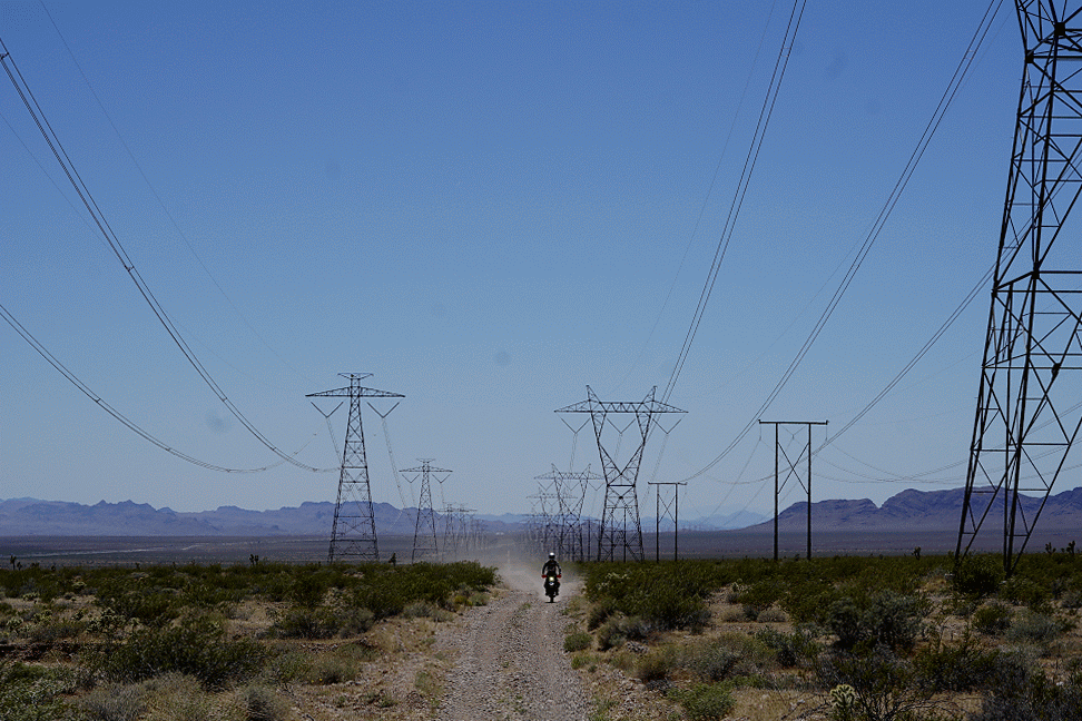
Following the power lines to St. George.
The powerline trail gave way to another ripping wash that connected to a double track through the Beaver Dam Wash National Conservation Area. This double track gave way to a gravel road the climbed through Joshua Tree National Landmark and over Bulldog Pass to the St. George OHV area. While we were all dead-tired and the sun was setting, we couldn’t resist a little end-of-day fun and powered through a few whoops lines before hopping back on pavement and ending our day at beckoning St. George motel.
Climbing up to Bulldog Pass on Mohave Desert Joshua Tree Road. While not visible here, we were previously riding through a sea of Joshua Trees.
Day 5: St. George to Kanab or how to visit an abandoned schoolhouse, a valley of untouched petroglyphs, and the North Rim in the same day
Day 5 was all about seeing the North Rim. Most tourists, myself included, visit the South Rim from Flagstaff. Some of them, myself included, think about how cool it would be to see the canyon from the other side but balk at the 14-hour drive. Given that we were in the neighborhood, we thought we would stop by. Keep in mind that the neighborhood is a relative term here. More than a hundred miles of dirt road separates the North Rim from the nearest towns of Kanab and St. George.
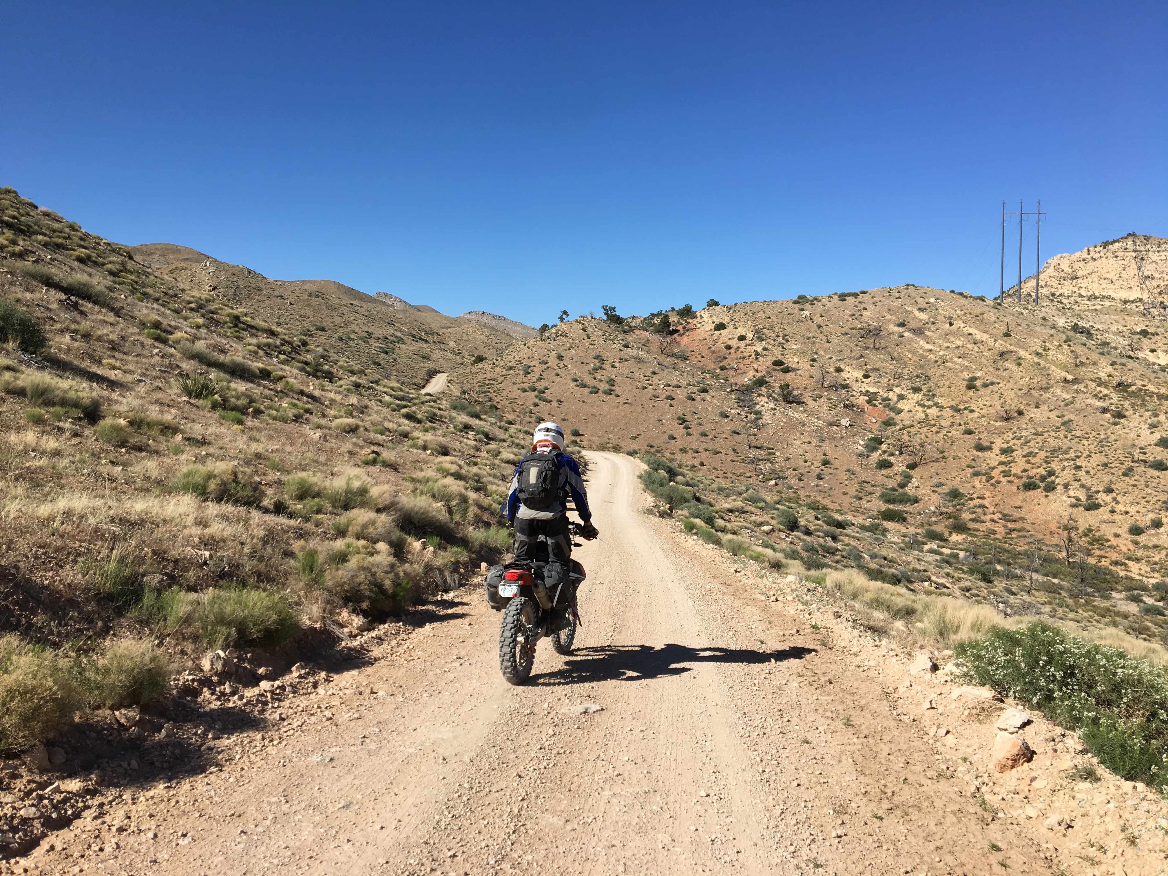
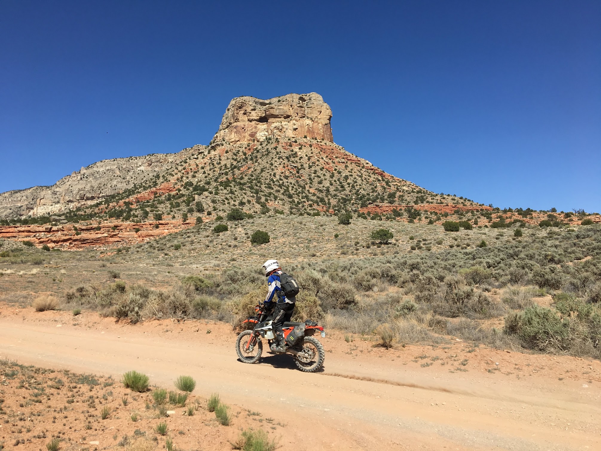
The team destined for Mt. Trumbull.
Our day began on graded gravel and quickly evolved to fun, Jeep doubletrack that popped us on and off the main route. We hit our first junction at Mt. Trumbull, a once town of 300 settled by the Bundy family. I have to imagine that this is where the ancestors of our friends Cliven and Ammon, made famous by the recent federal standoffs over the right to graze cattle for gratuit on BLM land, originally settled.
The old town of Mt. Trumbull is feted by a still-standing schoolhouse that has been designated a national historic place. While the schoolhouse itself is quite ordinary, the shelves inside are still full of textbooks primarily published in the 1940s. I could have spent all day learning how kids were taught chemistry, math, and geography before the hammers of safety and political correctness fell upon education. Unfortunately, we had many miles ahead and precious little daylight, so we had to put our books down and get back on the road.
Townsquare in Mt. Trumbull.
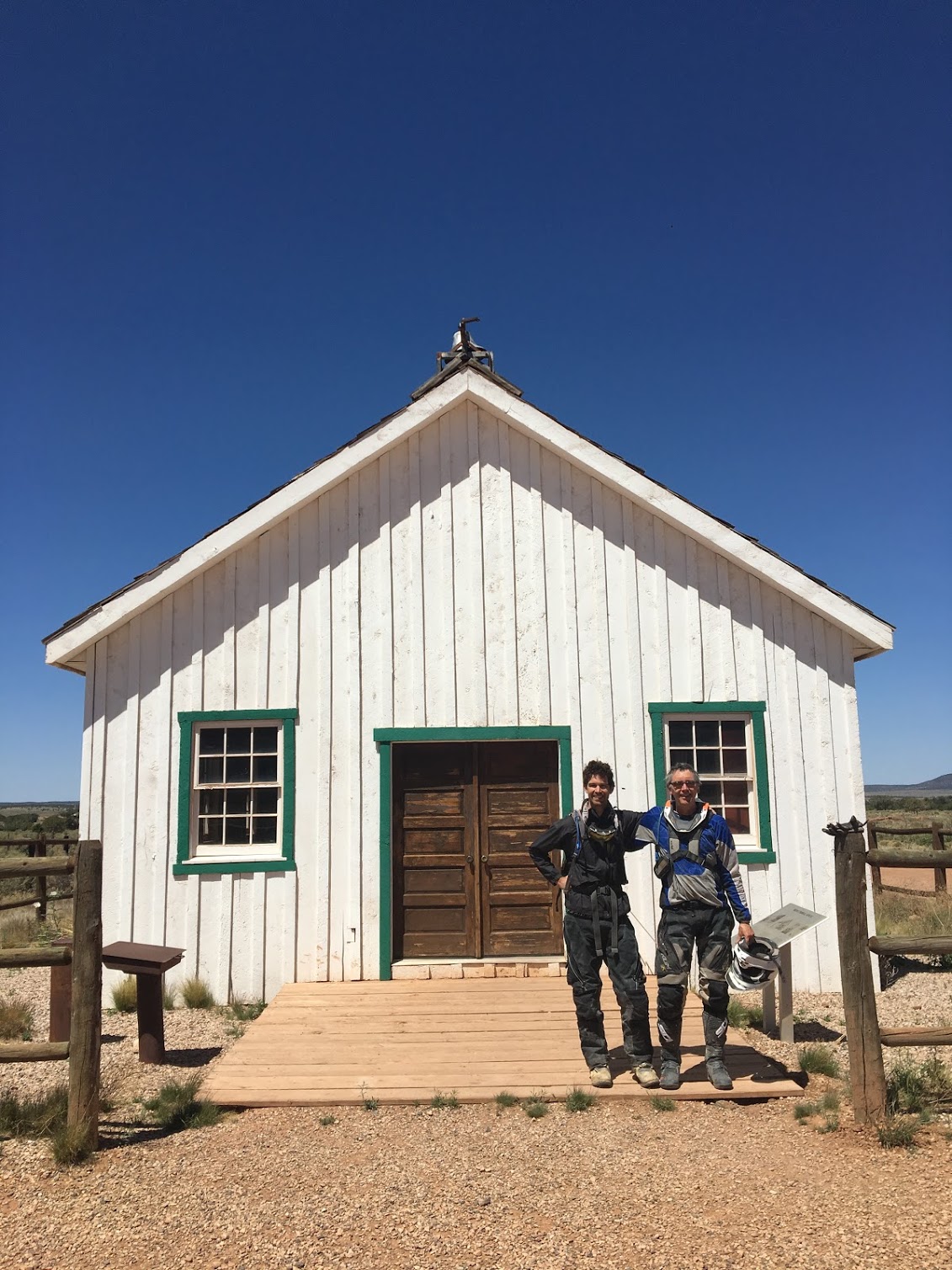
Tom and me in front of the Mt. Trumbull schoolhouse, originally built in 1918 and closed in 1966.
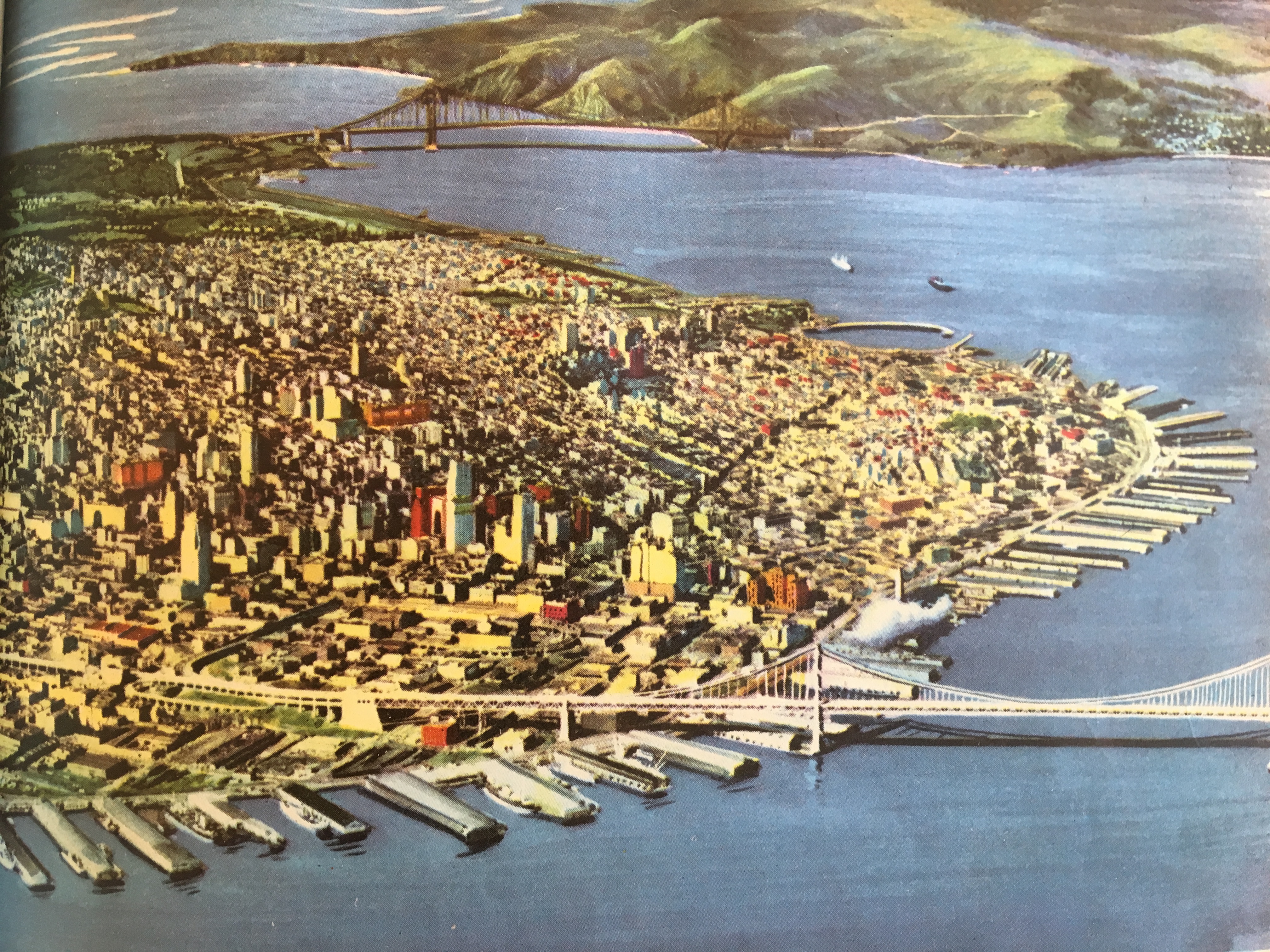
The schoolhouse was full of old books. I was lucky enough to find an aerial image of San Francisco in The American Continents, a geography textbook published in 1946.
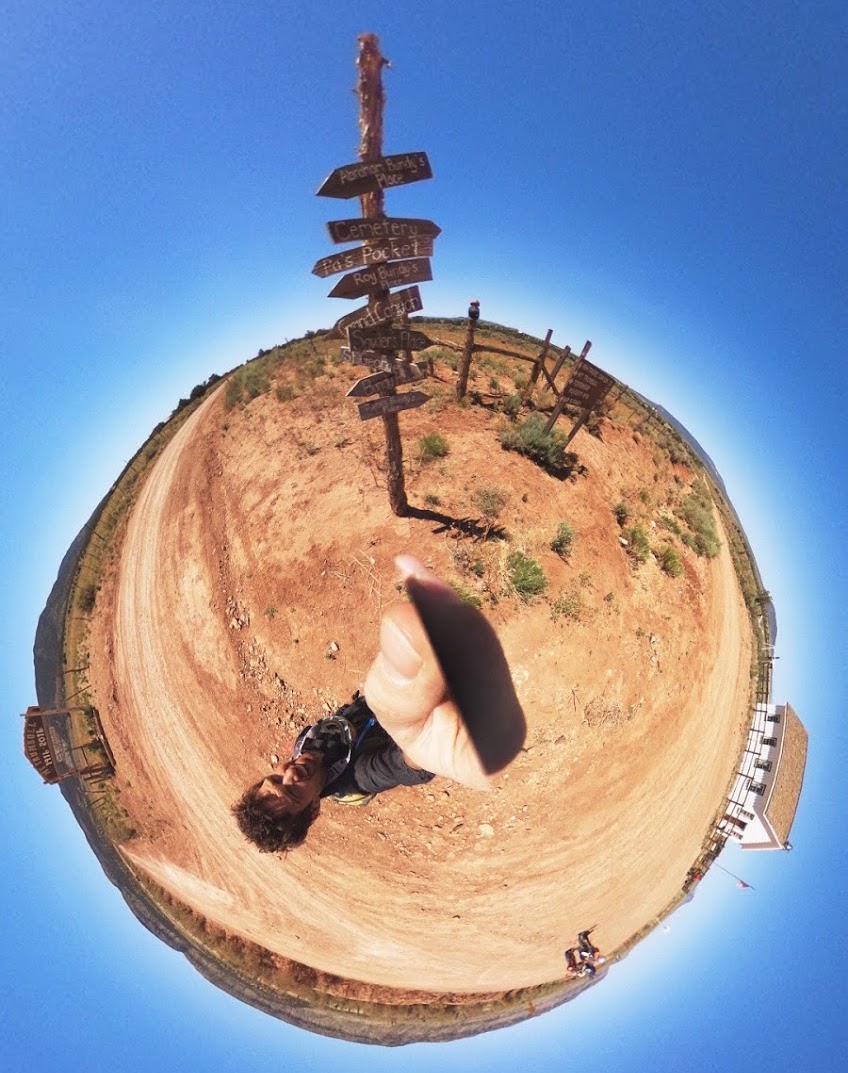
We continued alternating between flying down the main gravel thoroughfare and exploring interesting side roads when we came upon a simple sign: “Petroglyphs 1 mile –>”. For the first time on the trip, we knew that marked, graded roads connected our current location to the North Rim and our final destination, we took a gamble and followed the sign. We were rewarded handsomely. After hiking a mile or so down a valley, we were greeted by the Napaweap petroglyphs. These untouched and rarely visited pieces of ancient art decorated nearly every vertical rock face.
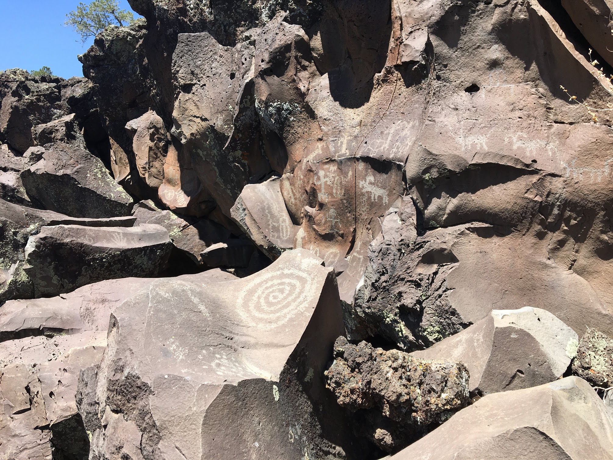
10,000-year-old snakes, mountain goats, and humans scratched into the rocks at Napaweap.
Post-petroglyph detour, we set off for the Toroweap overlook. Arriving at the Park Service office, the docent greeted us with a friendly “paradise is 10 miles straight ahead.” She wasn’t wrong. The road to Toroweap was a fun ride past the 4×4 only sign, but it absolutely paled in comparison to being totally alone on the rim of the Grand Canyon.
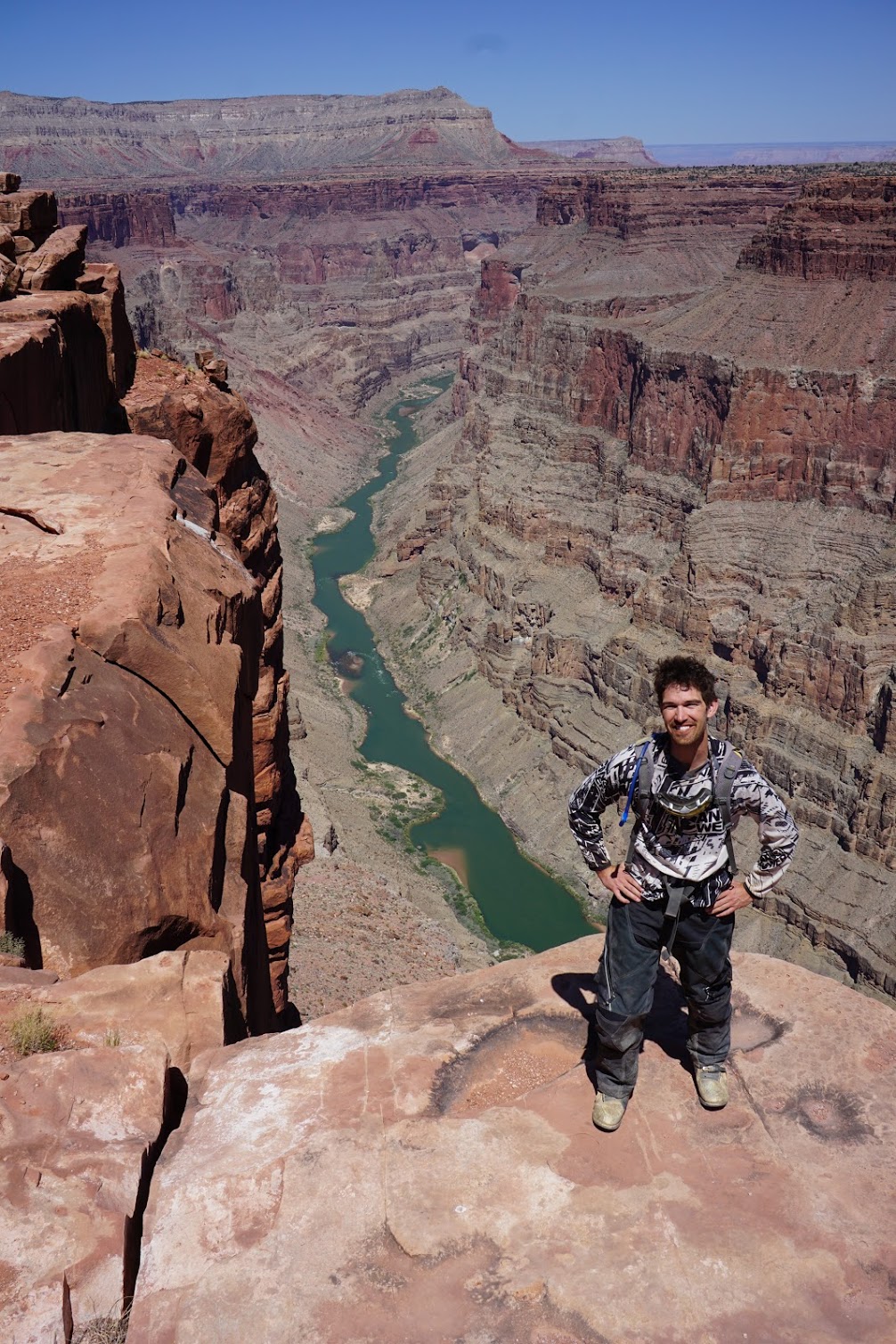
Carl, our local professional photographer, found the perfect spot on the rim for the glam shot.
The world feels pretty big sitting on the rim. The most challenging rapids on the Colorado River were just below us.
This butte marking the end of the 4×4 track to Toroweap looks absolutely pedestrian in comparison to some of the other pictures, but I like this show enough to post.
Pilgrimage to the Grand Canyon complete, the team followed a series of fun jeep roads all the way up to Kanab. While we didn’t have time to really explore, the natural beauty and riding possibilities out of Kanab are limitless and the town is pretty great to boot. We dined at Wild Thymes to celebrate some good career news I got while on the road that day, enjoyed dishes that would have been lauded by any big-city restaurant critic, and retreated to the themed saloon next door to continue the celebration and sip on microbrews.
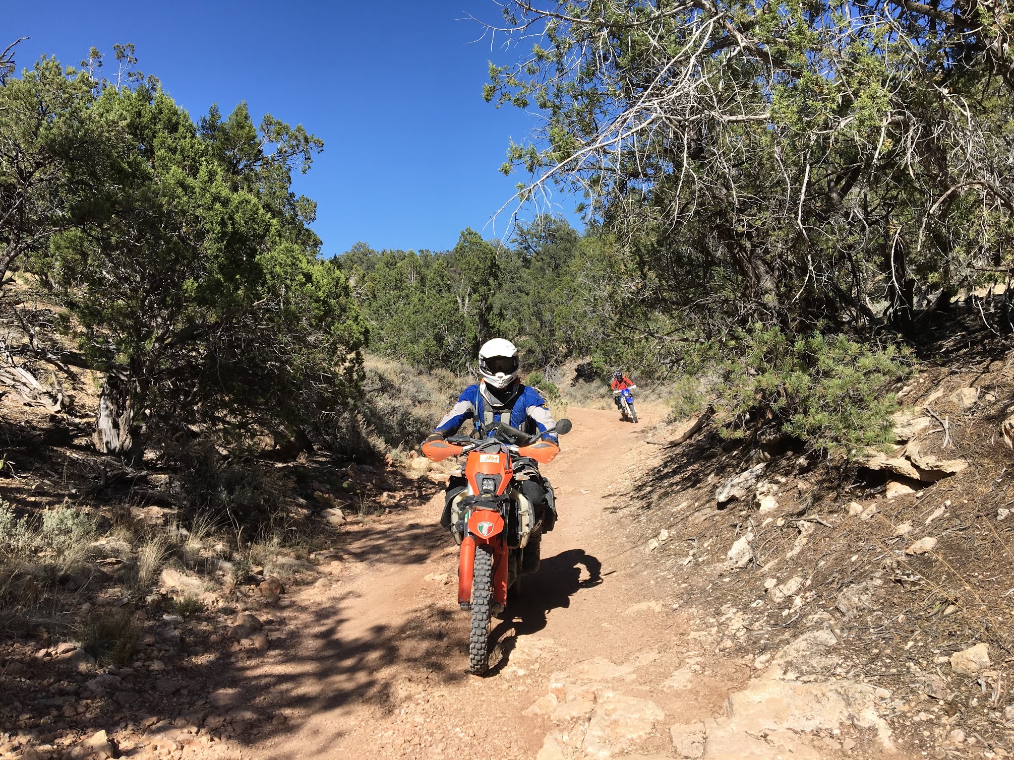
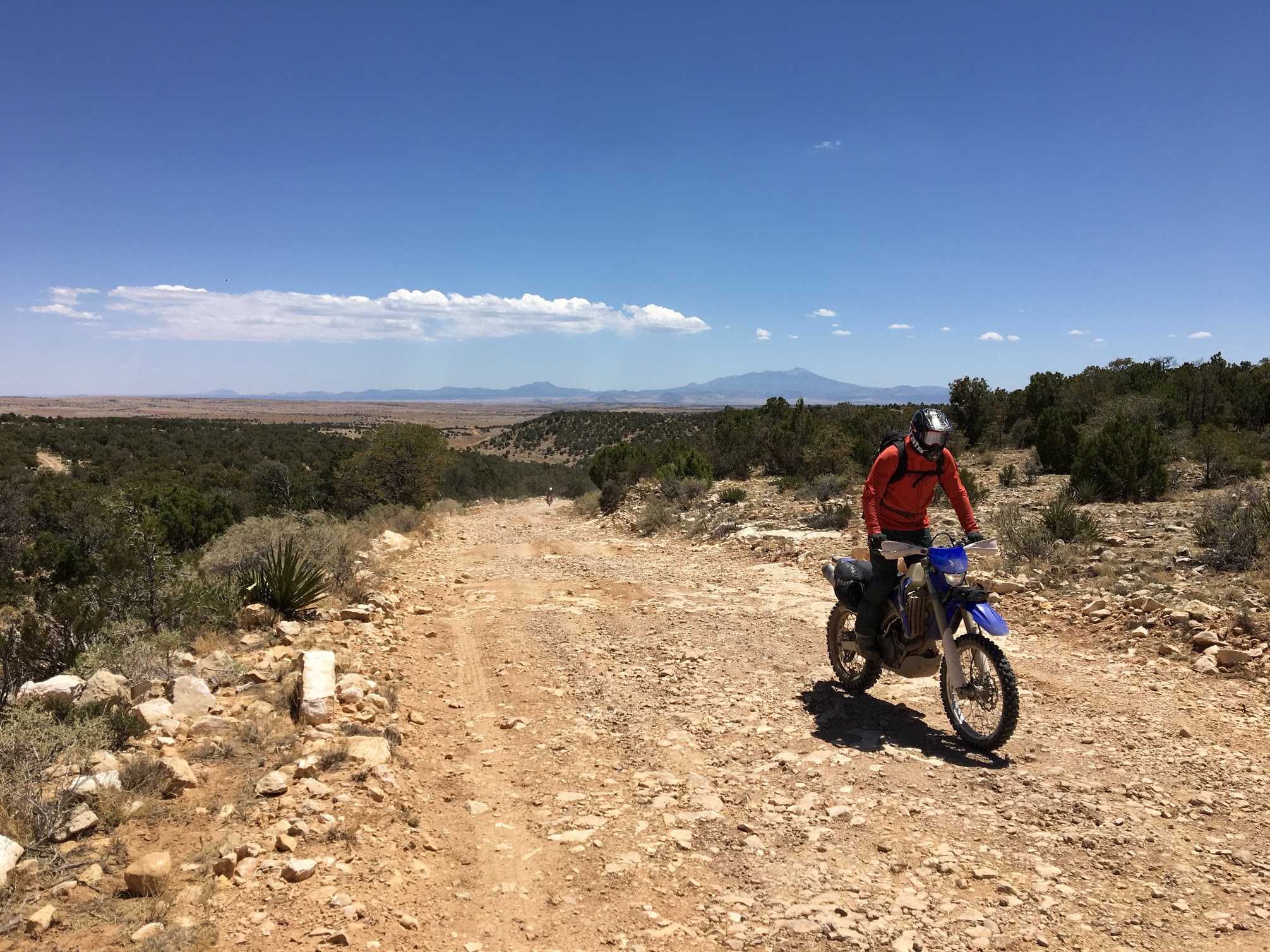
Tom and Carl tearing up some rocky forest service roads en route to Kanab.
Day 6: Kanab to Page or how to separate the boys to the men with a deep and steep sandy hill climb
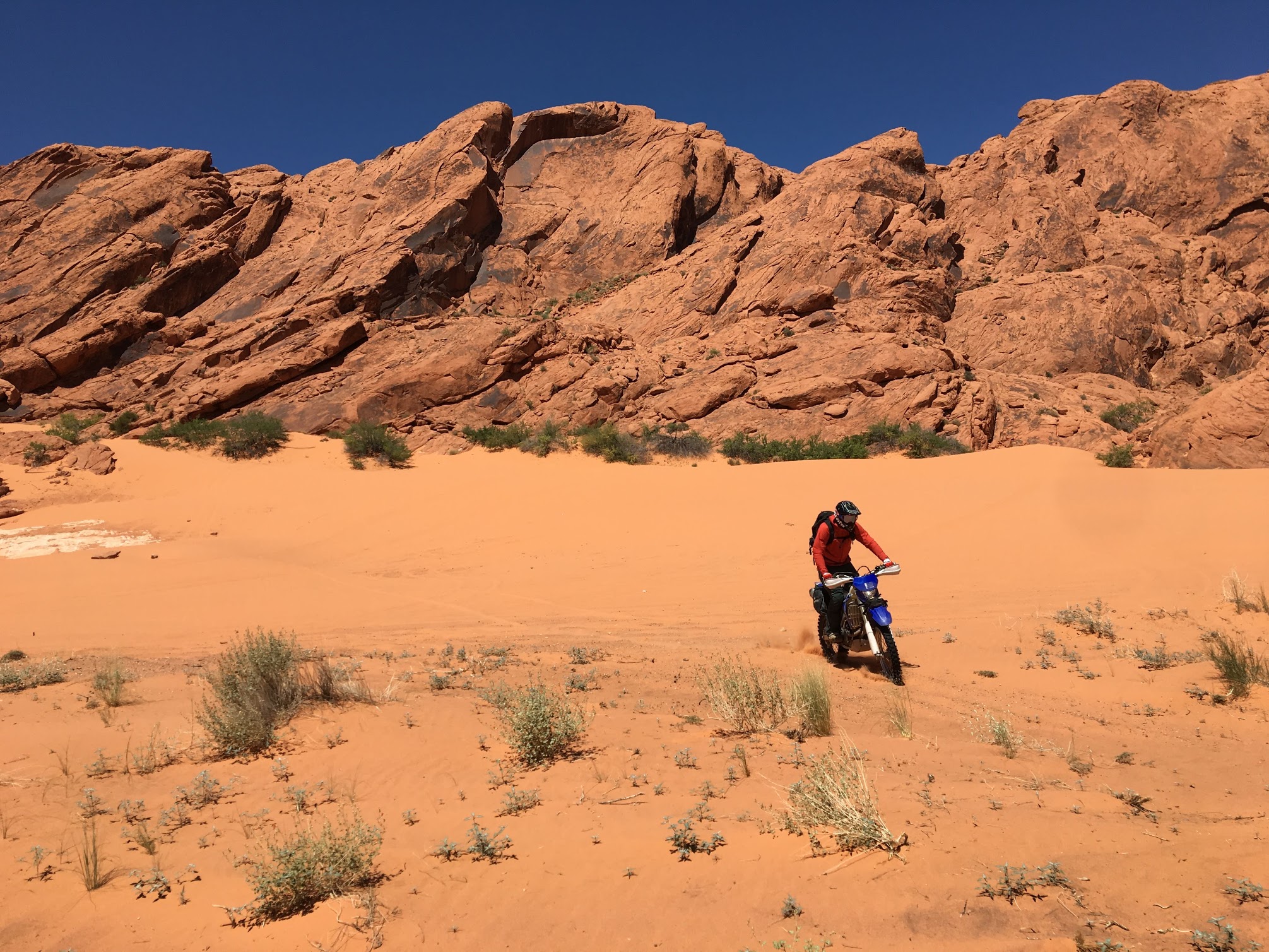
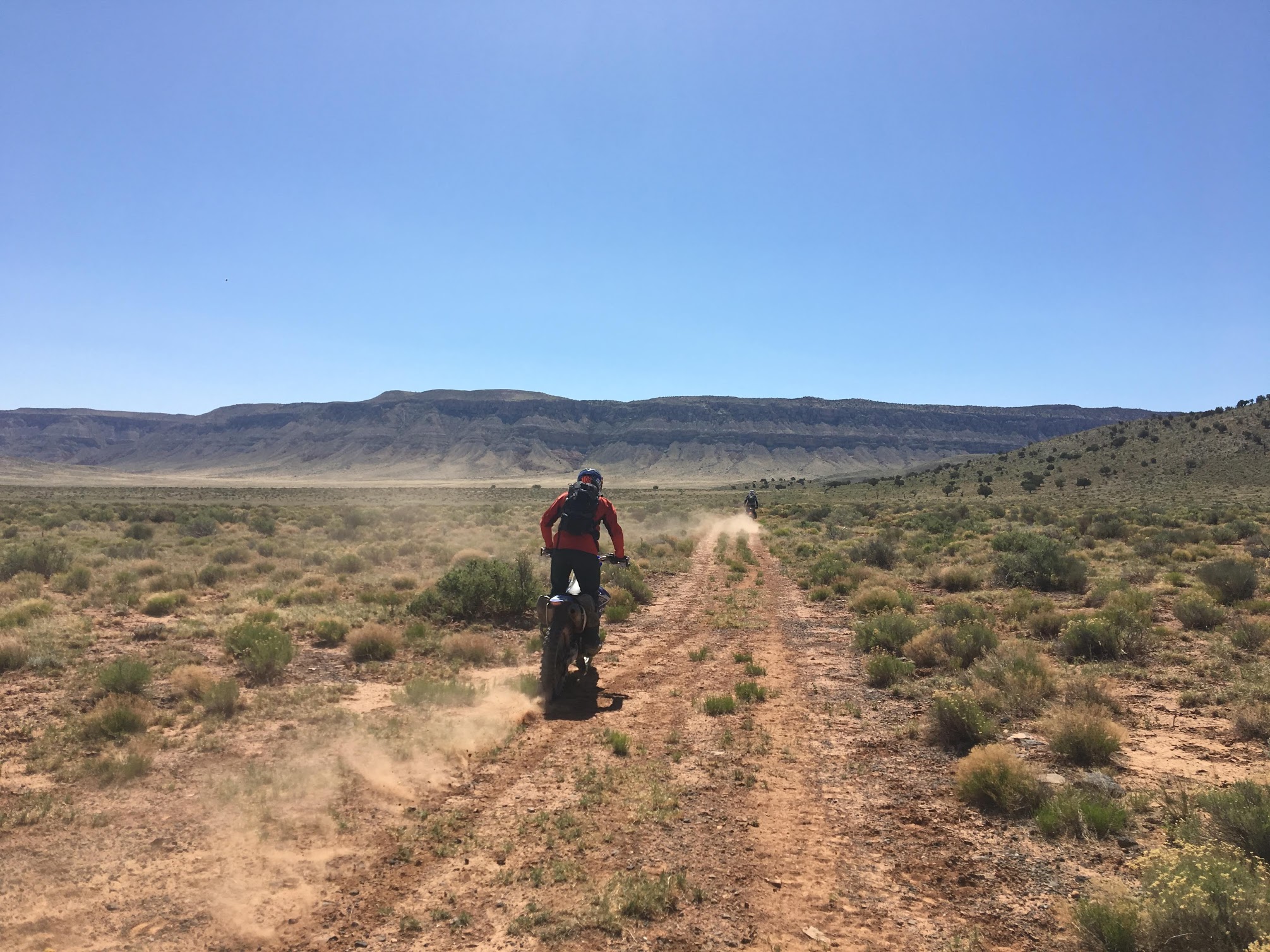
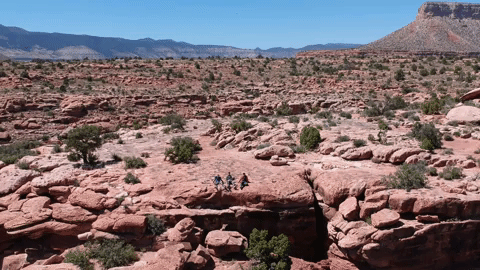
We started our day by riding north to the Parunuweap Canyon Wilderness Study Area and turning onto a sandy doubletrack loop that offers tourists breathtaking sights of the canyon and environs. While this loop technically didn’t advance us on our path to Page, it looked too fun in Google Earth imagery not to ride.
The trail started out with a shock. Usually, our days began with a graded road and slowly transitioned to more challenging riding, if it ever came at all. Out of Kanab, the minute we left asphalt, we were pinning the throttle through a deep, dry sand twisting through death-inducing rock outcroppings. This sand occasionally gave way to step-ups and baby head Boulders before dropping into a wide open wash.
Tom descending into the wash on a rocky doubletrack.
Riding through this wash was the highlight of the trip. A creek was still flowing and the trail crisscrossed from sand to rock to water dozens of times. As soon as we started heating up, we were treated to another splash. Beyond the riding, flowers were blooming alongside the creek, the cottonwoods were shedding enough to provide the illusion of snow, and the neighboring red cliffs furnished a spectacular backdrop.
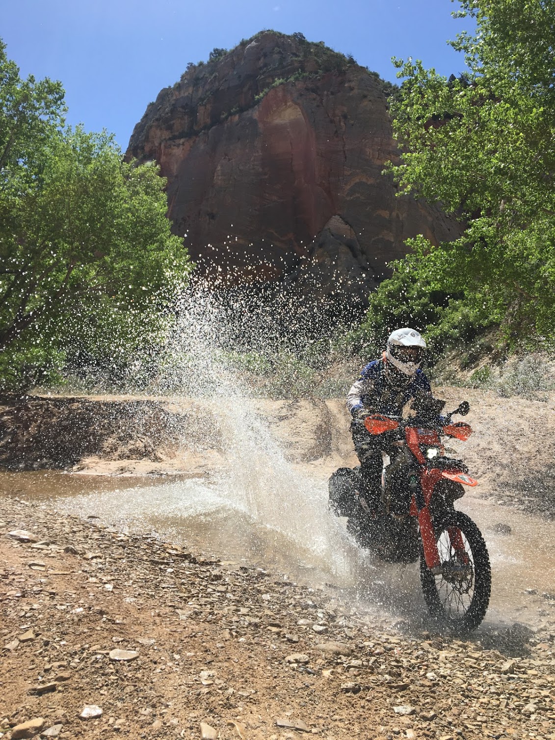
The water crossings were a welcome respite from the heat. This trail was a wonderful reminder of Kane Creek in Moab.
I couldn’t get enough of the iron-stained cliffs lining the wash.
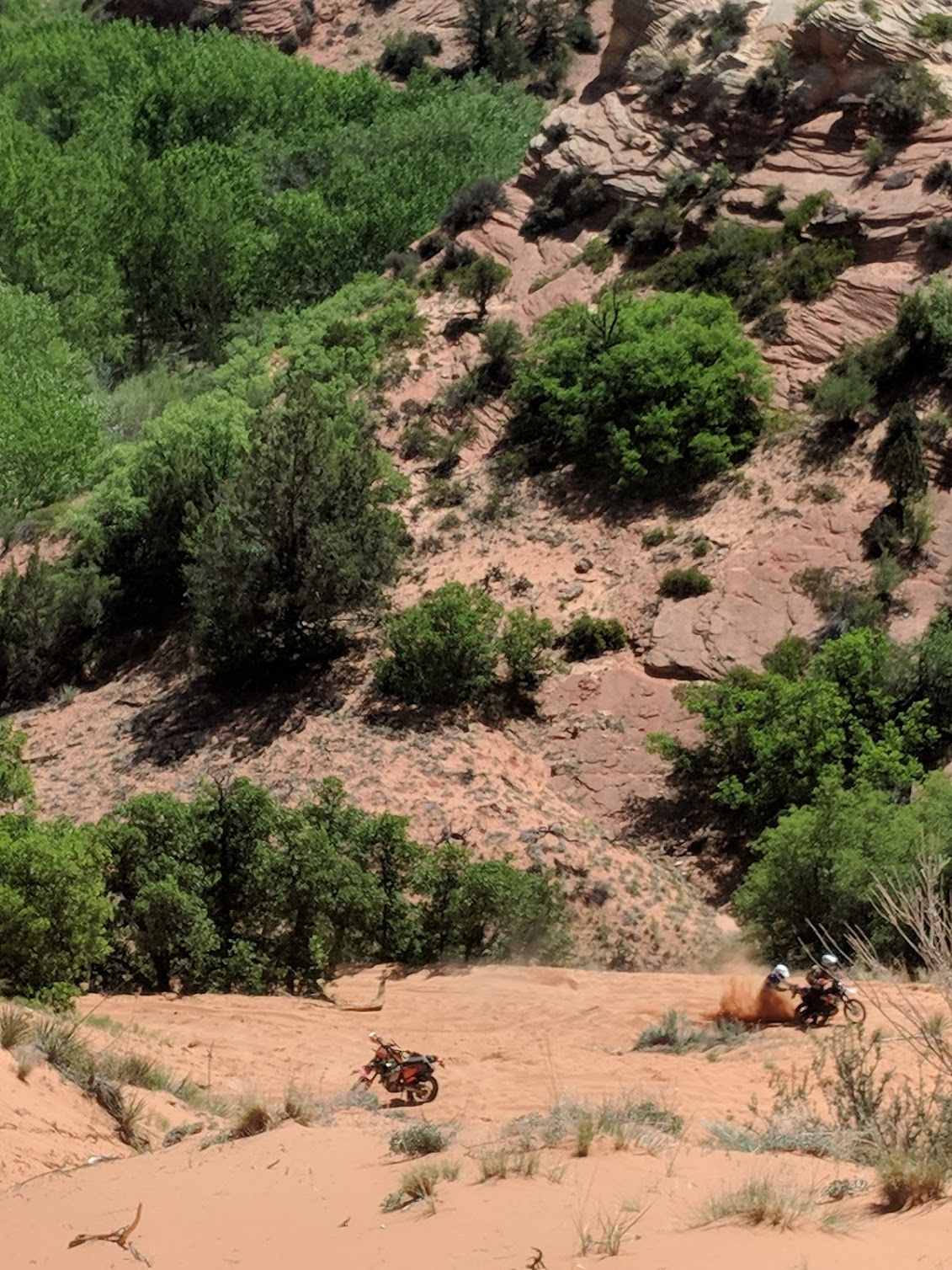
Unfortunately, all good things must come to an end. The trail turned sharply from wash to insurmountable sandy hill climb. When Carl, a master rider who has been one with a dirt bike for two decades, took a look at the climb and suggested we turn around to get a running start, I knew we were in trouble. Carl zoomed off, full throttle, fishtailing from rut to rut but staying on the bike and eventually disappearing in a cloud of dust. I lined up, cracked the throttle wide open, and dug myself in halfway up. After digging out, descending, and repeating my attempts from different starting points, I conceded that there was no way I was riding up this hill and we should start pushing because the top was in sight.
The top was not in sight. Over the course of the 30 minutes or so that it took to dig the bike out and make multiple attempts on the summit, Carl still had not returned. I planned on just waiting for him to ride the other bikes back up, but when appeared over the top of the ridge, he waved us off. There was no way we were getting up that climb. This trail was probably designed to be ridden clockwise. Oh well. We turned around, enjoyed the wash in reverse, and abandoned the extra credit loop, which I will return to and conquer one of these days.
I took a dozen photos of this climb and not a single one did it justice. The route was so steep, deep, and sustained that Carl was the only one who could make it up. This was the first and only time our riding ability versus an obstacle or property boundary turned us around. Tom and I are doing our best to bulldog the bikes up the hill here, but we had a long way to go. The climb continued well beyond this vantage point.
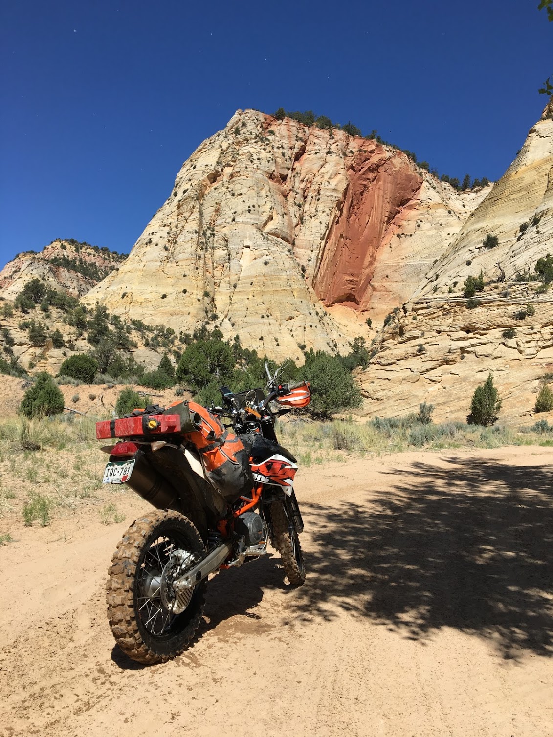
From the aborted off-road loop, we pointed the compass north toward Zion. The plan was to skirt the park, see the valley from an overlook, and follow the only dirt road through Grand Staircase-Escalante National Monument. This was nearly 200 miles of gravel road, but the views were spectacular. Nothing photographed particularly well due to the short focal length of our cameras and the scale of the geological features, but the route is worth following, especially if you can take a little more time for side excursions. There are a huge number of arches, caves, canyons, and other noteworthy stops along the way.
The road crosses an infinitely deep slot canyon. If you look closely, you can see the remnants of a car sliding into the shaded area.
The long ride through Grand Staircase-Escalante National Monument was full of big views.
After wrapping up our offroad travel for the day, we hopped on Highway 89 into Page, Arizona, crossing the Grand Canyon for our second and final time. Page is slightly less charming than Kanab but still surrounded by natural beauty. Antelope Canyon, Horseshoe Bend, and the scenes of many other iconic desert photos are scattered around Page. It would have been well worth spending another night here if we had the time.
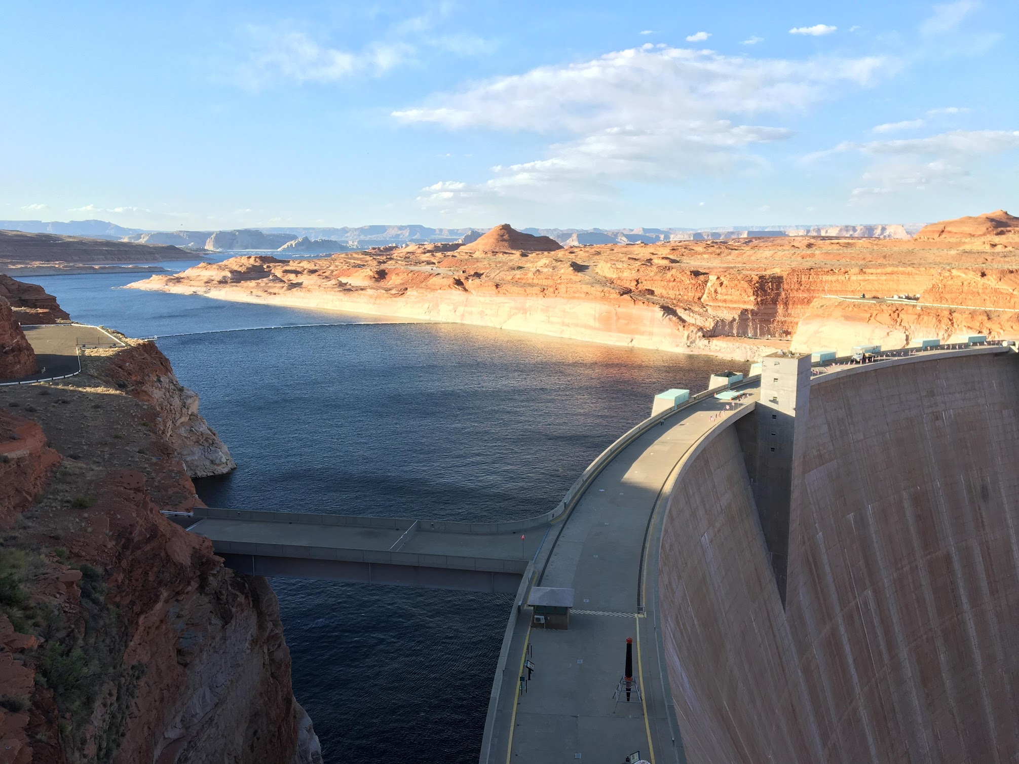
Glenn Canyon is stunning. After spending some much time around Lake Mead, I can totally understand why Lake Powell and the Glenn Canyon dam earned the attention of Edward Abbey’s Monkey Wrench Gang over Lake Mead and the Hoover.
Day 7: Page to Flagstaff or proof that the Native Americans got the worst land
Day 7 was difficult to plan. So difficult, in fact, that we considered using a shuttle service to transfer the bikes back from Flagstaff. The Grand Canyon prevented accessing any of the trails to the west and passage through the Navajo Reservation was confusing at best. We did our best to combine the Arizona BDR with some Google Earth reconnaissance, but we knew day 7 would be a total wild card.
Pictures of Horseshoe Bend adorned the interior walls of essentially every building in the area, but I never made the effort to actually find out where Horseshoe Bend was. I just assumed that it was somewhere remote and our itinerary was so tight that there was no way we could make the detour. I was pleasantly surprised when we saw signs immediately south of Page, so we took a quick detour for one of the most iconic sights in the American West.
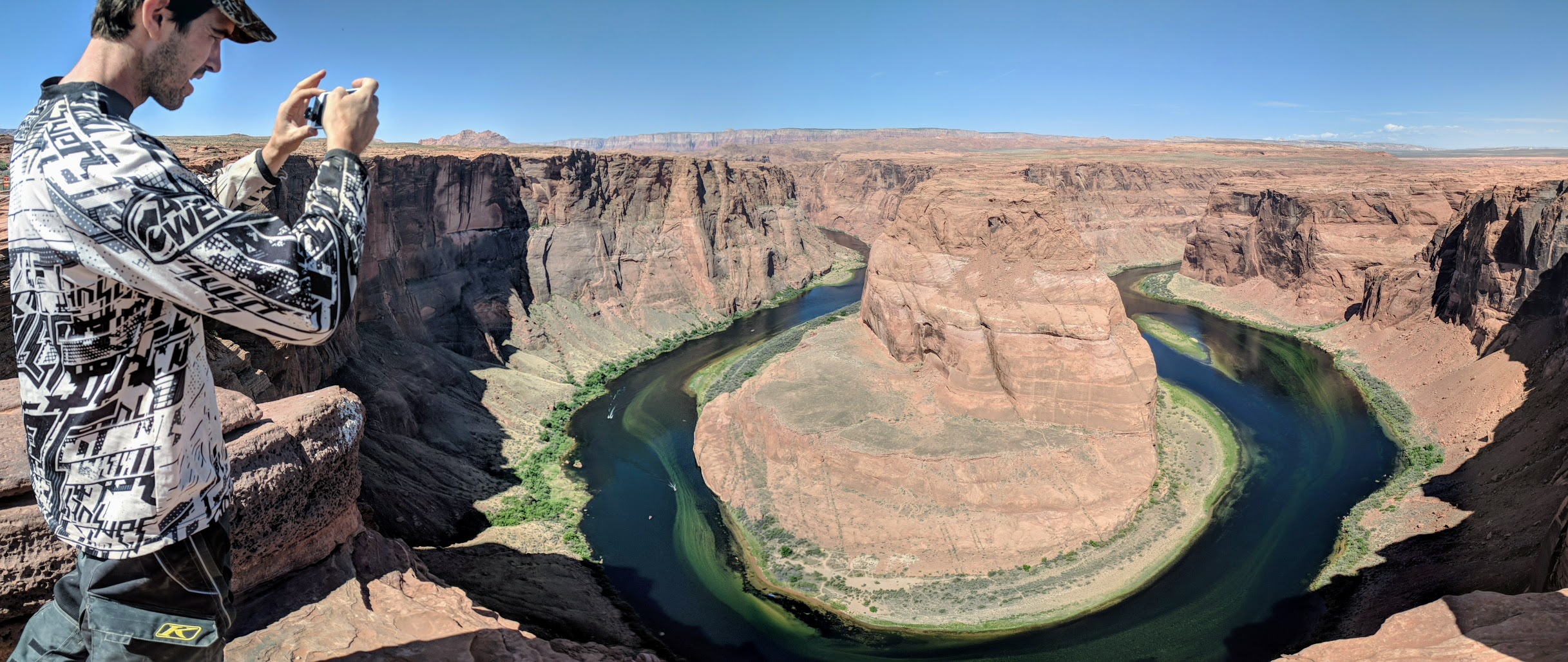
Carl’s photo of me taking a photo of Horseshoe Bend was better than my photo, so I just went with this one.
Shortly after Horseshoe Bend, our planned route suggested that we follow some dirt roads to the west of 89. However, the Navajo Nation explicitly prohibits off-road travel without a permit and most of the entrances were marked with no trespassing signs. We elected to ride the long 70 miles on the highway to the Navajo Nation office in Cameron to purchase a permit and chat with a human about access. Unfortunately, despite arriving at the office solidly in the middle of posted business hours, no one could be found at the Navajo Nation OHV office, buying a permit outside appeared impossible, no maps were available, and their posted number rang forever without an answer. Not wanting to spend another 50 miles on the pavement and ruin our last day riding, we took a photo to document that we were indeed there in case we ran into a ranger and set off on Navajo Route 6150.
No Trespassing signs were ubiquitous on Navajo land and it wasn’t clear how we could get a permit.
Navajo Route 6150 was a beast of a road. Going was slow. Climbs were littered with massive boulders. Babyheads were rattling us to pieces. We needed to get back to Flagstaff by 5 pm to register for the Overland Expo, but at the rate we were moving, we were never going to make it. Furthermore, the sun was out and the entire Navajo Reservation appeared a wasteland in all directions–generally featureless aside from the odd mound of gray rock or clump of shrubs. I am convinced that there is absolutely no way to sustain human life on this land with externally supplied technology or energy.
Carl climbing up Navajo Route 6150
We were pushing the pace through the Navajo Reservation, battered and beaten from the previous six days, and saw a beautiful forest in the distance. Minutes later we arrived. The road and soil improved to a rich loam designed for motocross turns and the landscape became rich with pine trees. The exact demarcation between barren and hospitable was marked by a neat “Entering National Forest” sign. It was clear that the geographers assigning reservation boundaries sought out the worst land in the southwest to push on the indigenous people and claim anything worth keeping for the federal government.
The remaining miles were largely a blur. We were racing against time to both get back to Flagstaff by 5 pm and get off of our damn bikes. Seven days of 10+ hours per day on a dirtbike is enough to shake anyone to pieces. The corners through which I would have once channeled Ryan Dungey became uninspiring obstacles. The water bars that I once used to rip my front wheel into the air became annoyances that hurt my body. It was good the trip was drawing to a close.
We arrived back at our vehicles in Flagstaff tired, dirty, and full of accomplishment. We had completed a 1,500-mile odyssey around the Grand Canyon and visited some of the most remote places in all of the southwest. I was looking forward to nothing more than stripping off my riding gear, taking a shower, enjoying a cold beer, and reveling in the fact that I did not have to ride a motorcycle the next day.
And then it dropped. We were riding motorcycles to the Overland Expo. And camping without running water. My heart became leaden. While Carl was driving back home to a warm shower with the breeze in his hair, I would be stewing in my own filth at a campsite across town Discouraged but not defeated, I bucked up, packed the tent onto the bike, swapped Gaia for Google Maps, and set off toward the expo.
Day 8-9: Flagstaff Overland Expo or how overlanders have more in common with RVers than moto folk
Despite my previous reservations, I was excited to arrive at the Overland Expo. My dad and I felt a buzz of excitement as we rode in and were surrounded by overland trucks of every shape and size. I suddenly had a desire to abandon my plans to fly back to California and just ride south until I hit Tierra del Fuego. Then I noticed something. All of the trucks were clean. And the bikes. It was clear that nearly every Overland Expo attendee was not actually traveling around the world, but merely buying accessories to project an image. The moto campground was replete with cherry GS1200s lacking a single scratch. The ubiquitous TRD 4Runners were all equipped with Gobi racks, ladders, and skid plates, but with no sign of traveling more than a graded road beyond the interstate.
My observations were confirmed as I began chatting with some of the other attendees. Everyone was planning on traveling somewhere, but no one had actually traveled anywhere. While I thought the Overland Expo would attract KTM-riding adventure dudes like ourselves, it really seemed to be a melting pot of bitter libertarians trying to run from something but too scared to actually get off the couch. The average Overland Expo attendee had far more in common with a retiree traveling the National Parks by RV than an ambitious adventurer hungry to see the world.
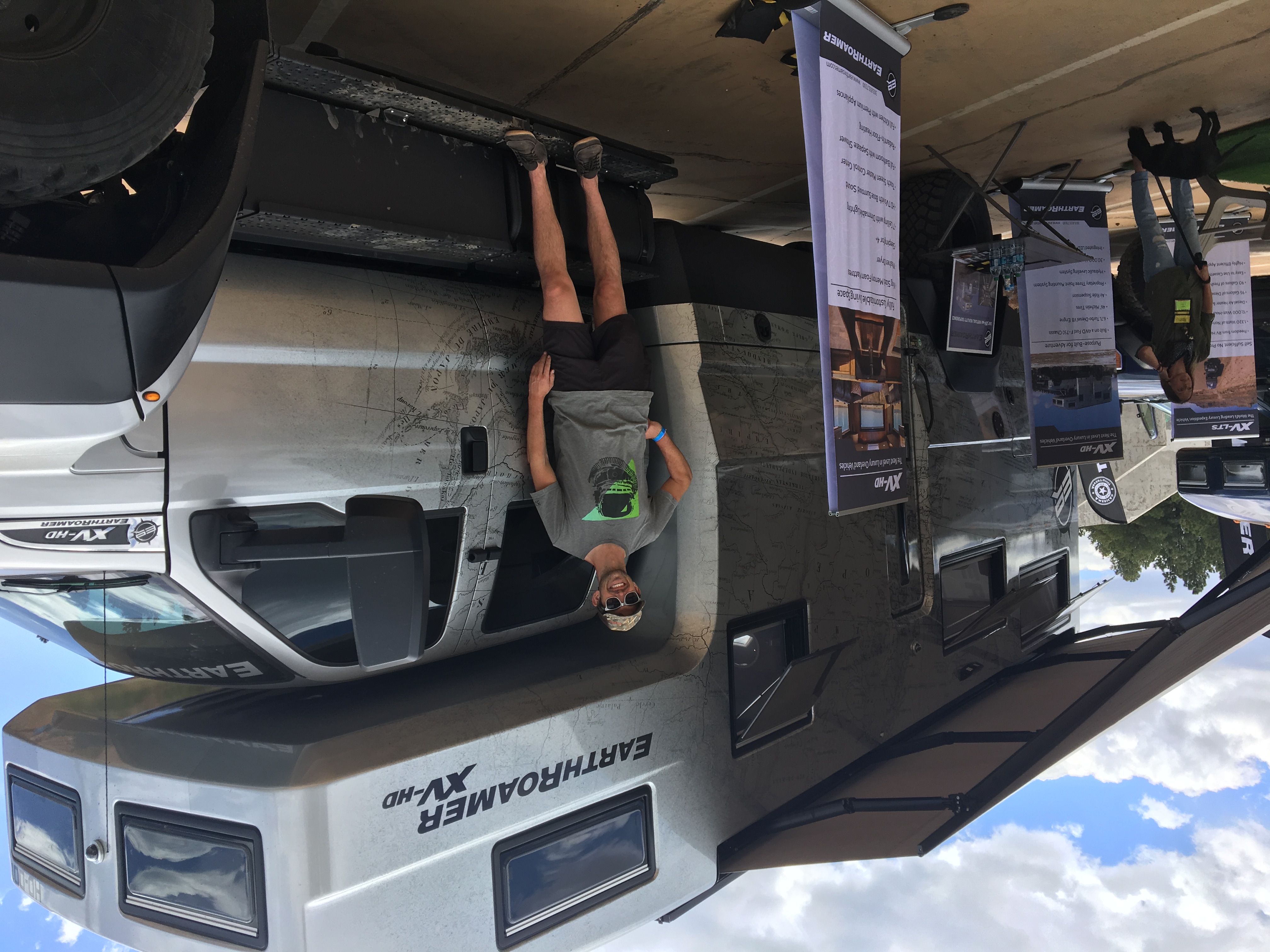
No price list was listed on this Earthroamer. The smaller one started at $465k. If you have to ask…
And that was that. After two days of camping and expo-ing, I packed up the car, bade farewell to my dad, and returned to civilization while planning the next trip. Wyoming and South Dakota, anyone?